








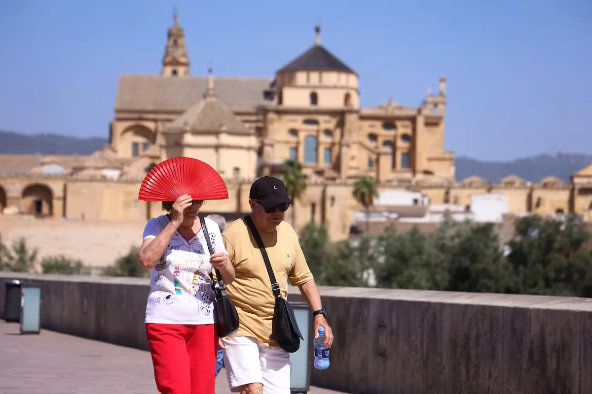
Spain’s warmest summer in history does not end. After the respite of the last few days, with temperatures close to normal values, even below the usual ones on the Atlantic and Cantabrian slopes of the Peninsula; from this Wednesday, the heat returns. Temperatures will rise “to reach very high values for this time of year,” detailed the State Meteorological Agency (Aemet) in a statement. Although this rise “very likely” will not lead to a heat wave ―episodes of three or more consecutive days in which 10% of the Agency’s stations record a maximum temperature equal to or exceeding the reference―, an “important” level of health danger is expected during the central hours, as well as very warm nights.
“From Wednesday the 2nd, with the presence of a dana to the southwest of the peninsula, there will be the entry of a warm, dry air mass with suspended dust over much of the Peninsula and Balearic Islands,” detailed Aemet, “along with high sunshine, there will be a progressive rise in temperatures.” The situation of unusually high temperatures will remain until Friday, although it could extend due to the “high uncertainty” regarding the evolution of the dana from that day onward.
Likewise, the episode may be accompanied by dry afternoon storms, while the fire risk will be at extreme values. As of August 31, the Ministry for the Ecological Transition and the Demographic Challenge (Miteco) estimated the area affected by fire in Spain at 264,656 hectares, which has suffered 44 large fires.
This Wednesday, thermometers will register a widespread rise, with values close to 36ºC in valleys of the southern half of the peninsula and reaching 39 in the Guadalquivir valley. In the Ebro valley, depressions of the northeast peninsula and interior Mallorca will hover around 35. On Thursday the phenomenon intensifies and maximums of 40 degrees are expected in the valleys of the southern half and even reaching 42 in the Guadalquivir. In low areas of the northeast peninsula and the Ebro valley, 37 will be reached, while in large areas of the northern plateau they will exceed 34ºC. “Minimum temperatures will also be above normal, with tropical nights in much of the southern half of the peninsula and Mediterranean coast,” warn Aemet.
From Friday, uncertainty increases due to the evolution of the dana and because cloudiness will increase in the southwest of the Peninsula, possibly producing storms with suspended dust. “These factors add more uncertainty to the behavior of temperatures,” emphasize the Agency, “with the current information it is likely that daytime values will continue to rise in the Mediterranean and Cantabrian areas,” while they would begin to fall in the west due to a cooler Atlantic flow. From Saturday, Aemet forecasts a gradual drop in temperatures.
As a consequence of the heat during the three months of meteorological summer, which spans from June 1 to August 31, 5,111 people have died in Spain, according to data from the Daily Mortality Monitoring System (MoMo), of the Carlos III Health Institute and the Ministry of Health. There were 937 in June, 2,025 in July, and 2,149 in August. If the 123 deaths in May, when an early episode of extreme heat occurred, are added to these figures, the number for this summer period recorded by Health reaches 5,234.
On the other hand, the oceans also suffer from the heat, exacerbated this year by the effects of a superNiño. After months of extraordinary records, on August 22 the highest daily temperature record on the ocean surface since records began was broken: 21.1 degrees. Never before had such a warm average sea water temperature been measured and this, besides having disastrous consequences for the marine ecosystem, turns the seas into a climate bomb. “We increasingly have more chances for something serious to happen again in Spain like [the dana that occurred] in 2024,” stresses Juan Jesús González Alemán, meteorologist at Aemet.
Read more Haakon VIII sworn in as King of Norway before the Parliament