
The summer that started in spring and continues in autumn: once again thermometers between 5 and 10° above
After a slight thermal relief of just two days, the heat returns to Spain this weekend










After a slight thermal relief of just two days, the heat returns to Spain this weekend
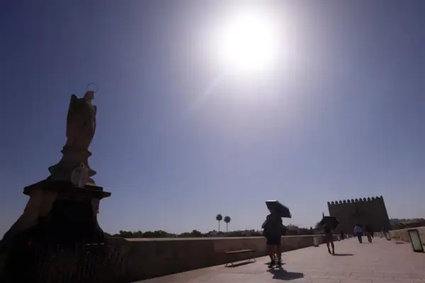
The return of high temperatures after the late August lull is due to the arrival of an air mass up to 10 degrees warmer than normal for this time of year
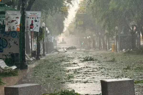
The thermal contrast will be “very marked” between the west and the east of the Peninsula

The low-pressure area is being monitored by the US National Hurricane Center due to its rarity
An Atlantic storm will bring heavy rains and temperatures will drop between 5 and 10 degrees below normal values

A very pronounced trough will bring very unsettled weather with heavy rains across much of the Peninsula and the Balearic Islands on Saturday, Sunday, and Monday
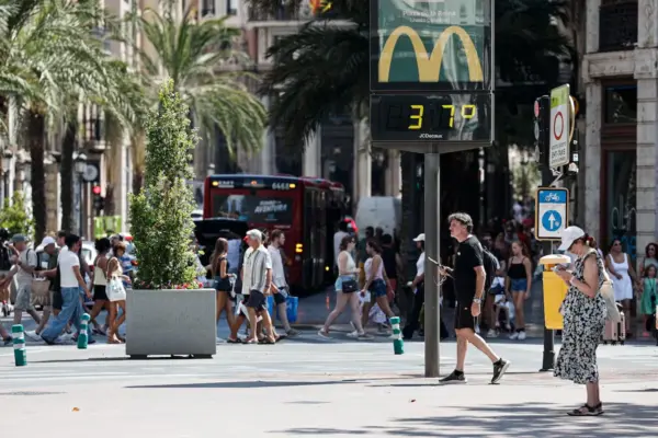
On Thursday, a “widespread change in the weather” is expected, with rain in the northern and eastern peninsular areas and a drop in temperatures in the western and northern halves.
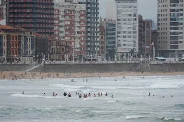
In the second half of the week, the weather will be much milder due to the passage of a succession of cut-off lows and troughs
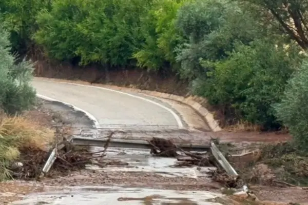
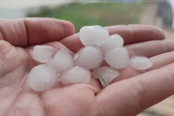
Showers are expected in large areas of the northern, central, and eastern peninsular regions, which may be locally heavy and accompanied by wind and hail

Scorching nights are expected in the Mediterranean area, with an intense feeling of mugginess due to the humidity