








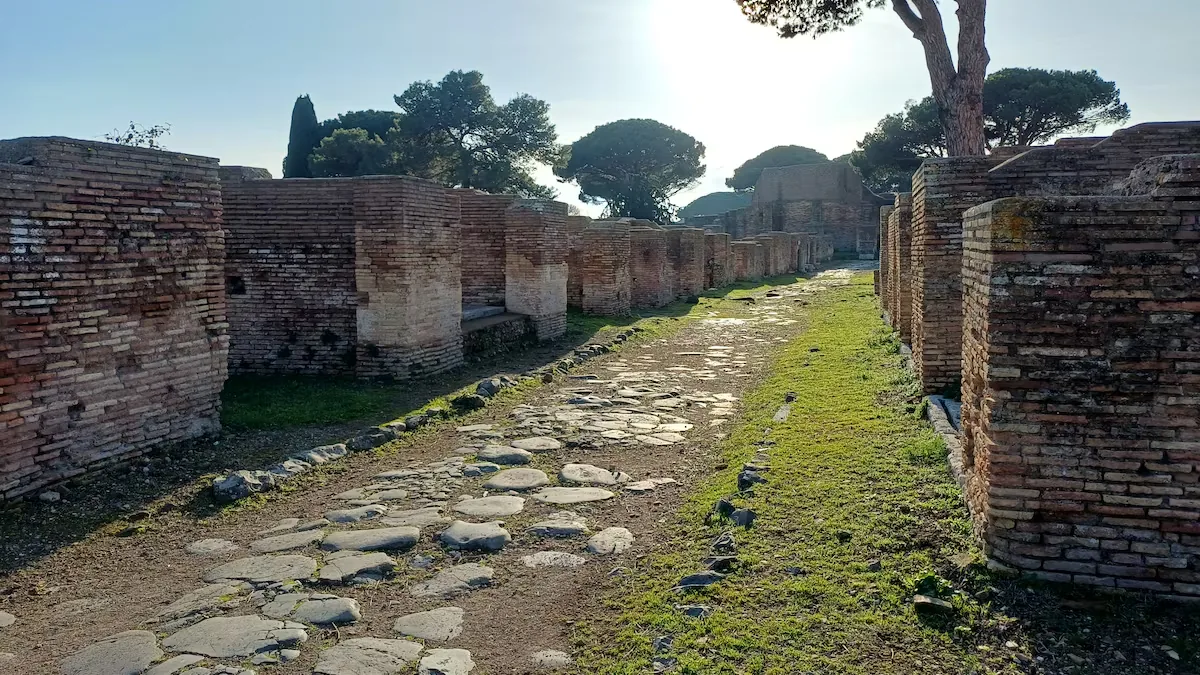
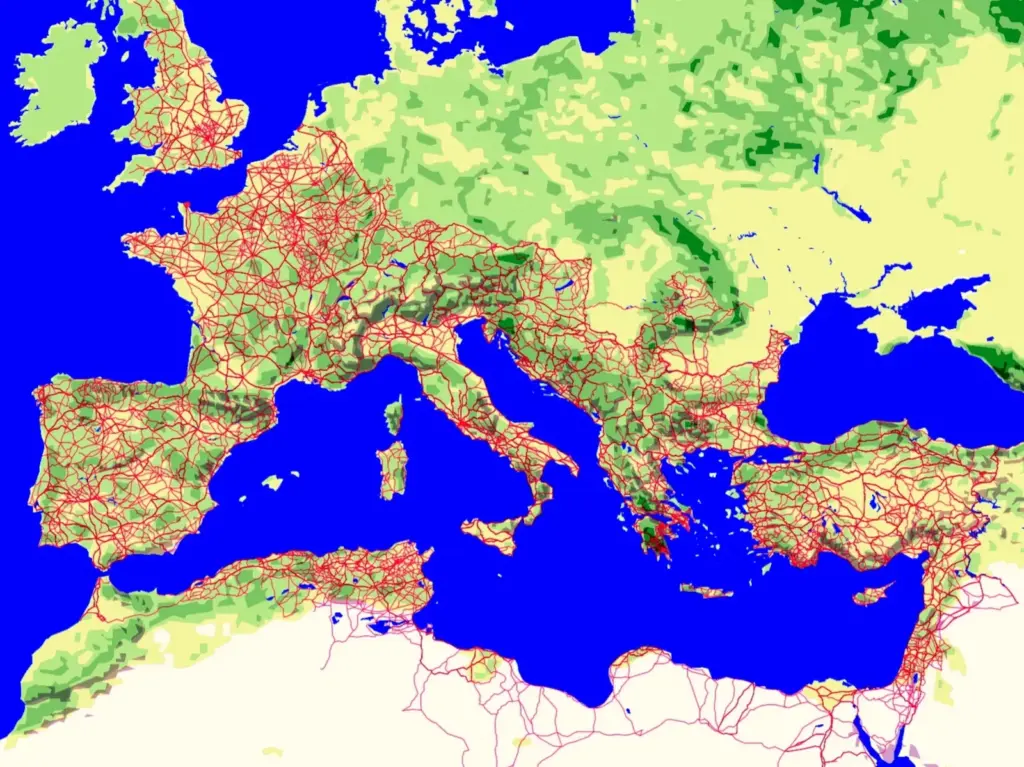
Straight whenever possible, with a slope low enough for carts and animals to travel and so well located that many modern roads take advantage of their layout. This is how Roman surveyors built their roads. The kilometer-by-kilometer study of nearly 300,000 kilometers of roads in the Roman Empire, published in Nature Communications, shows how Rome used paving to sustain its power. The work also shows that the capital was not the center of the road network; cities that would have later historical relevance, such as Byzantium, did receive all the roads.
In November last year, a group of archaeologists, geographers, surveyors, mathematicians, and data scientists revealed the results of the Itiner-e project. They had collected enough data to paint the most complete road map of the Roman Empire to date: with 299,171 kilometers of roads during the Empire’s greatest expansion, the time of the Hispanic emperors, the figure meant adding more than one hundred thousand to those already mapped. In Spain alone, the extent of Roman roads exceeded 40,000 km, doubling the amount previously assumed. The new work, by the same authors, squeezes all that data.
“Then we generated the data, something that did not exist. Now we quantify perceptions that people repeated many times, even researchers, but without any empirical basis,” says Pau de Soto, archaeologist at the Universitat Autònoma de Barcelona (UAB) and co-author of both the 2025 study and the current one. “What about straightness? What about slope? Are modern roads heirs of the ancient ones? Did all roads lead to Rome? These were questions people asked,” adds de Soto. They answer them supported by data science and modern GIS (Geographic Information System) techniques for each of the thousands of kilometers of Roman roads.
The Roman Empire’s roads were very straight. On average, the sinuosity index they obtained is 1.048. “The higher the value, the more curves,” explains de Soto. These values are not uniform; they vary depending on the area the road crosses. The lowest are found in Western Europe or the Pannonian Basin (plain occupied by present-day Hungary, Serbia, or Croatia). In southeastern Europe, on the contrary, Roman roads were more winding. As expected, the sinuosity index of modern roads is lower (1.024). “Current engineering and our ability to transform the terrain is much greater than what the Romans had,” recalls the archaeologist.
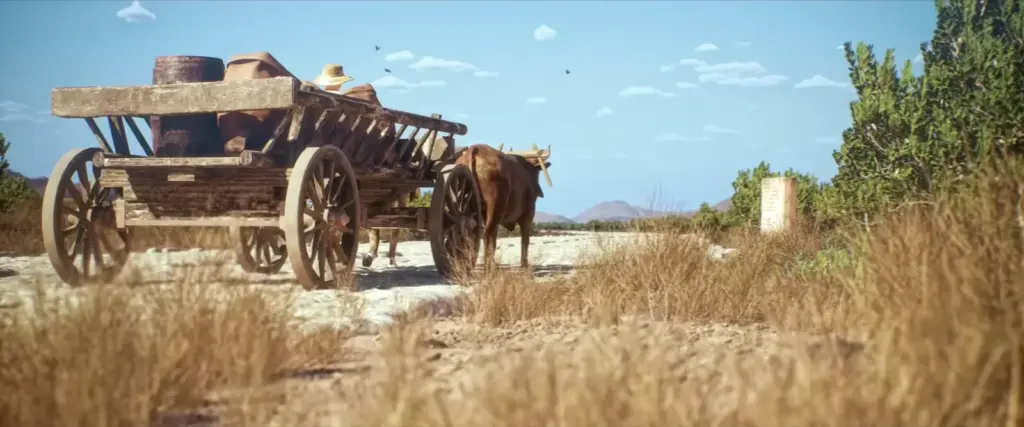
Another value they studied is the slope of Roman roads. As cyclists well know when facing Alpe d’Huez in the Tour de France or Calar Alto in the recent Vuelta a España, hills are tough. Beyond a threshold, neither carts nor the animals pulling them could travel a road, something neither trade nor Roman legions could afford. Thus, starting from limits of 5% (every 100 traveled, you climb five in altitude, equivalent to an angle of 2.86º) to 16% (9.09º), the researchers verify that more than 90% of the imperial layout is below those limits.
As expected, mountainous areas have the highest values. In the Pyrenees, they reach 7.85º; in many points of the Cantabrian mountain range, with up to 11.26º, carts must have been pushed. But there is one exception to the rule: The Alps. Being the largest mountain formation in Europe, the Romans worked hard there to achieve an average slope of barely 2.68º and a maximum of 6.79º.
“It was a surprise. I would have always said that the Alps must have one of the steepest slopes,” highlights de Soto. “But that’s where you realize that when the Romans designed a road, it was not a line on a map or a simple straight line. As today, it was a compromise between geographic reality, what the mountains allowed, their technological knowledge, the amount of money and effort they could dedicate, and finally, also political interest,” he adds. The Alpine mountain range was Rome’s natural land exit to the rest of the Empire. “There they said: ‘Well, we’ll cover all expenses, execute all the engineering needed’,” he completes. So, to reduce the slopes of the Aosta road, they cut mountain walls, built bridges, and even drilled tunnels through mountains.
Another claim about Roman roads is their permanence over time, that they built them so well that those not preserved are because newer roads and paths were built on top. Adam Pazout, researcher at UAB and Aarhus University (Denmark) and co-author of the study, comments: “There is a strong correlation between the location of modern roads and Roman ones.” But he immediately adds: “This relationship is not uniform; in some regions the correlation is very strong, while in others it is weak.” In areas with large cities that were already large in the past, the road map is very similar. It is also so along what were the northern and eastern borders of the Empire. But road density has multiplied in parts like northern Italy, southwestern Germany, and the United Kingdom. Meanwhile, it has decreased in Greece, Anatolia, and North Africa compared to the Roman past.
The saying that all roads lead to Rome is also reviewed in this work. By creating a network of nodes (road intersections) and edges (connections and road ends), the researchers see that there are other more central cities, such as Antioch (capital of the Roman province of Syria) or Byzantium, present-day Istanbul. But things change if maritime routes are added to the road network, which then concentrated the traffic of vital products (like Egyptian grain or Iberian metals) and people. Thanks to its port and position in the Mediterranean, Rome regains the center of the ancient world.