








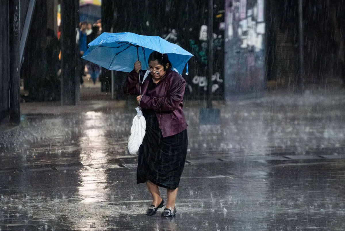
Tropical storm Marie has gained strength in recent hours and evolved into a category 1 hurricane on the Saffir-Simpson scale early Thursday morning. According to the latest update from Conagua, the hurricane, with winds of 150 kilometers per hour, is located about 660 kilometers southwest of Cabo San Lucas (Baja California Sur) and is moving northwest, in the opposite direction of the Gulf of California. Its effects in the country over the next 24 hours will be limited to heavy rains and increased wave activity.
Although Marie will continue moving away from the continental Americas at about 17 kilometers per hour and heading into the Pacific, its cloud detachments will cause intense rains in Baja California Sur, as well as very heavy rains in Nayarit, Jalisco, Colima, and Michoacán in the next 24 hours. Conagua also warned of an increase in wave intensity up to 3.5 meters in Baja California Sur, where authorities have decreed the suspension of classes for the municipalities of Ciudad Constitución and Los Cabos.
The first days of September have brought the peak moment so far in the Pacific tropical cyclone season, with two major hurricanes simultaneously: while Lowell reached category 5 south of Hawaii and will skirt the west of the archipelago without making landfall as it weakens, Karina, which reached category 4, maintains its course toward the North Pacific. Both systems are developing thousands of kilometers from the Mexican coast and therefore will have no effect on national territory.
Read more Aitana resumes her world tour with eight concerts in Barcelona and Madrid
Lowell is the second hurricane to reach the maximum category in 2026 just a week and a half after Lala did so in a season that, for months, has been forecast to be especially intense in the Pacific due to the effects of ‘El Niño,’ a natural pattern that causes anomalies in the temperature of its surface waters, which enhance both the appearance of more intense hurricanes and their rapid intensification. At the start of the season, which runs from May to November, Conagua forecast the formation of 18 to 21 tropical cyclones for the Pacific coasts, of which between nine and 10 will be tropical storms; five to six low-intensity hurricanes (category 1 and 2); and four to five major hurricanes (categories 3, 4, or 5).