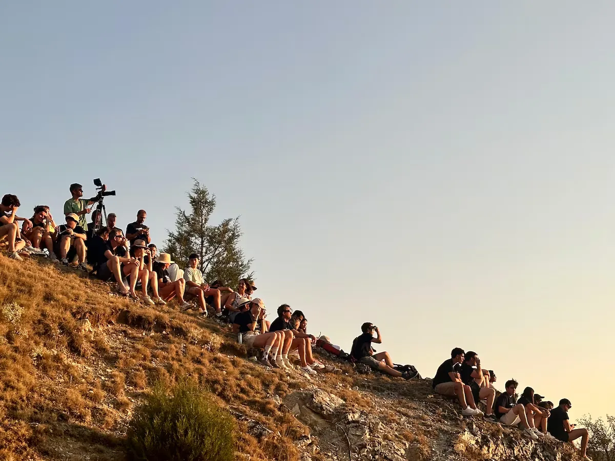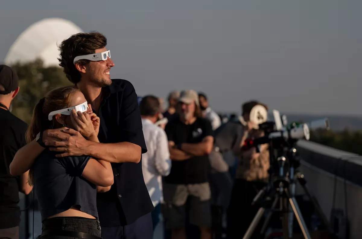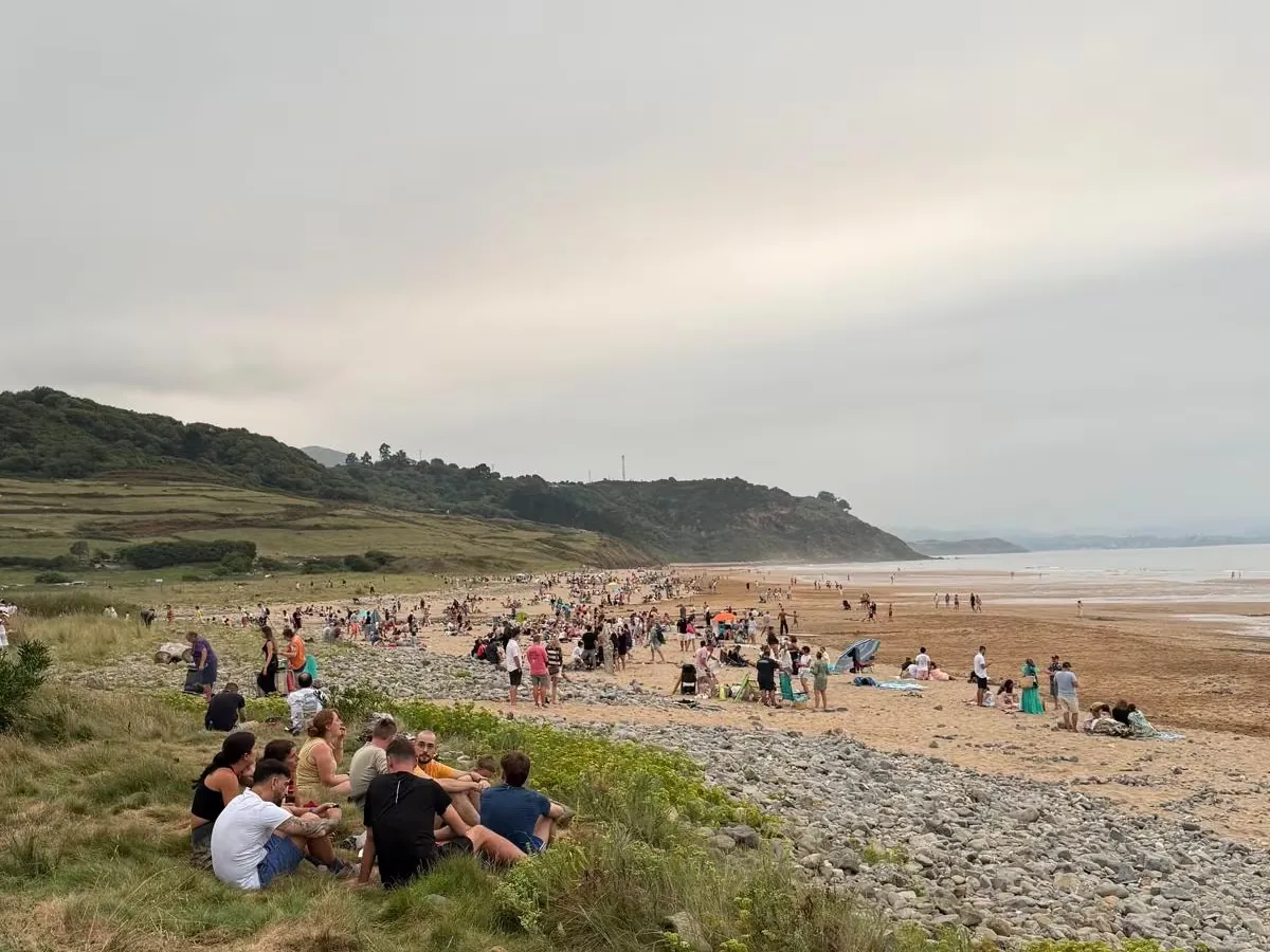







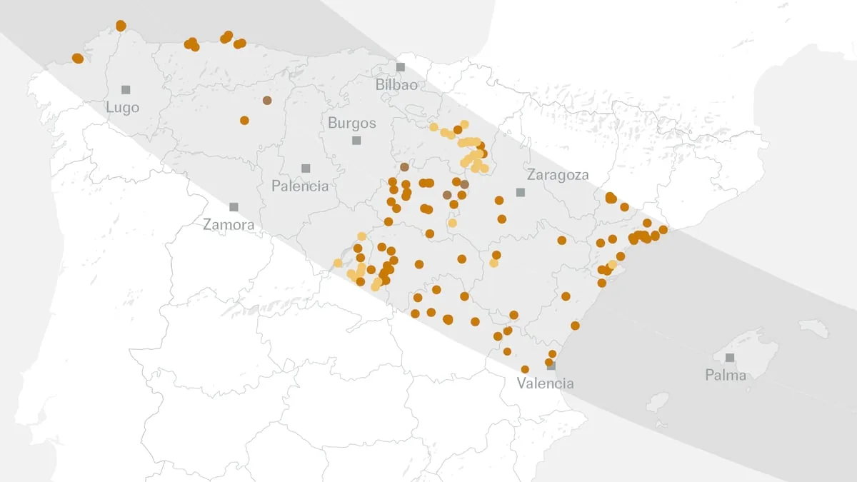
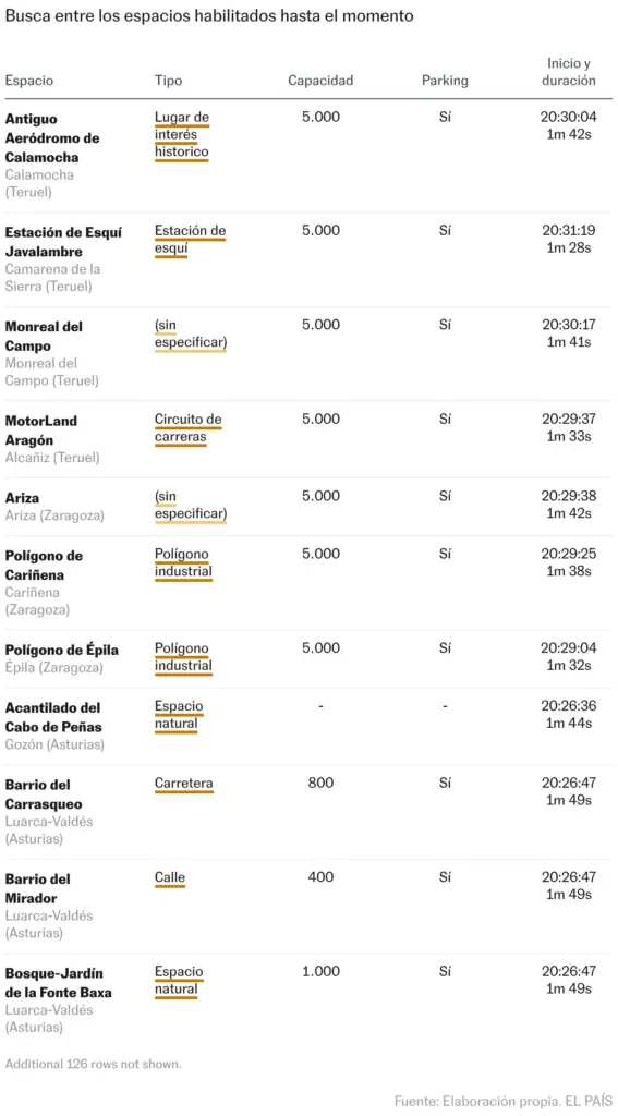
On the upcoming August 12, when millions of locals and tourists go to enjoy a peaceful summer evening, half of Spain will experience nightfall even in broad daylight, around 8:30 PM and for a maximum duration of 110 seconds. And those who want to ensure the possibility of seeing the phenomenon under the best conditions can head to the more than 500 official viewpoints that will be available in the 31 provinces where the solar eclipse will be total. EL PAÍS has created the first comprehensive map of these locations, compiling over 130 points provided by local, provincial, and regional administrations. In the coming weeks, many more sites will be added to this map, which will gain new features, such as the ability to check the precise location of each point.
Read more TVE and ‘La hora de la 1’ go off air for 20 minutes: “A power outage of an unknown nature”
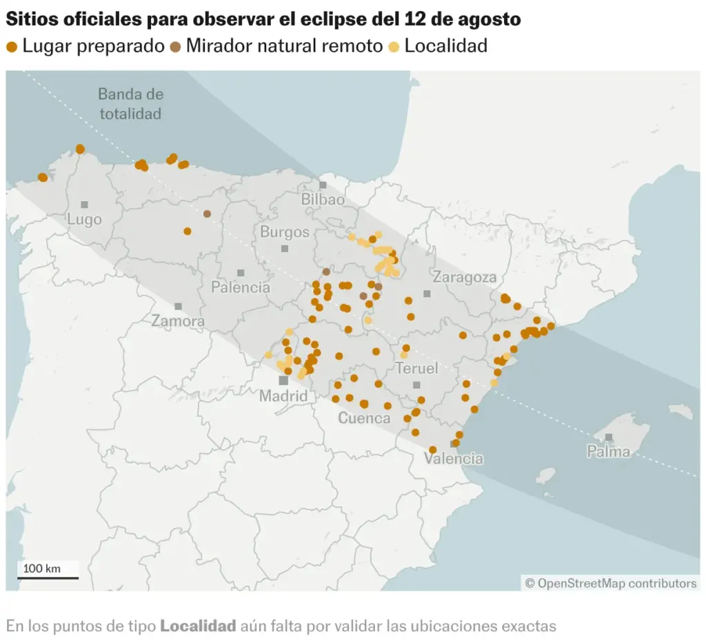
As a complement to the map, an interactive search tool allows locating the official total eclipse viewpoints located in a specific area. Just enter the desired municipality, province, or autonomous community:
The government commission that groups 13 ministries to handle preparations for the eclipse tasked the autonomous communities with selecting recommended places for safe observation, and had planned to present a large list of these official points in March — in safe locations that allow gatherings of people, have easy access, nearby parking, and basic and civil protection services —. However, it has not yet done so, with less than three months to go before the big day. The president of this interministerial commission, Juan Cruz Cigudosa, Secretary of State for Science, Innovation, and Universities, also asks citizens to find their own eclipse viewpoints to avoid unnecessary travel. “We encourage the population living in the totality zones to observe the eclipse in their town or city, from their own street or square, always with glasses and taking into account that there are no obstacles on the horizon,” explains Cigudosa.
The local and regional governments consulted acknowledge the difficulty, for the population and especially for tourists, of choosing a place where the Sun is directly visible during the peak moment of the total eclipse, since this occurs near sunset, with the sun very close to the horizon, making it easy for buildings, trees, or terrain elevations to block the view of the astronomical phenomenon. Added to this uncertainty of finding a clear sunset is the weather factor. If late forecasts predict cloudy skies in a certain place, it is likely that the population of that area will want to move to another to see the eclipse, as Cigudosa himself acknowledged in an interview with EL PAÍS. For this reason, the Directorate-General for Traffic (DGT) will set up a special device to manage the millions of road trips expected in the hours before and after the eclipse.
Such massive and unpredictable movements in such a short time are something never seen before in Spain. If there is something somewhat certain that the DGT can rely on, it is that people will travel to these official points, but only five of the 13 communities through which the eclipse totality band will pass have somewhat clear locations: Navarra, Castilla-La Mancha, Aragón, Comunidad Valenciana, and Cataluña. And even those regional governments have not finished specifying all the exact locations.
Read more Ayuso’s trip to Mexico confuses the PP: “With so much ‘show’, she devalues herself”
With the data provided by the various administrations to EL PAÍS, the official viewpoints map includes three types of points: already defined places, preselected localities (where suitable locations still need to be validated), and remote natural viewpoints such as mountain peaks (which are only recommended for people experienced in those environments and capable of staying overnight there, as night falls at the end of the eclipse).
This points map is provisional. Some autonomous communities have not yet provided any official points for the creation of this map, such as Cantabria, Basque Country, La Rioja, and Balearic Islands. The governments of Madrid, Asturias, Galicia, and Castilla y León have stated they are working with the municipalities in their territories — in coordination with the provincial councils and government delegations — to be able to publish a first list during May.
When those autonomous communities announce their official points, the map will still not be final, as as the various administrations develop different traffic and civil protection plans, some places prove to be unsuitable — not meeting mobility, safety, fire prevention, or environmental protection requirements — and are being removed from the list or integrated into broader observation areas.
With information from Ivanna Vallespín, Domitila Diez, Selva Vargas, and Paola Mendoza.
Read more The European Union approaches the Taliban to involve them in its campaign to increase deportations