







Researchers from UAB and CREAF have developed a method that improves our knowledge of the height of vegetation, buildings, and other objects in the territory. It enables obtaining digital models of extent and vertical evolution with unprecedented precision so far and with a large amount of associated metadata accessible in open access. “LidarTeam” allows studying large areas with a very high level of detail, with information every 2 × 2 meters, providing for the first time territorially complete vertical dynamic data over multiple periods. The detail achieved “is very important if you want to understand the texture of the territory and its evolution well,” says the study coordinator, Xavier Pons, who adds that “it is key to properly conduct studies of vertical growth rate and analyze the relationship with other time series, such as forest fires.” It has revealed that the tallest tree in Catalonia is in Girona and the tallest ones in the Val d’Aran.
Read more Ivana Rodríguez, sister of Georgina, winner of ‘Top Chef: Sweets and Celebrities’
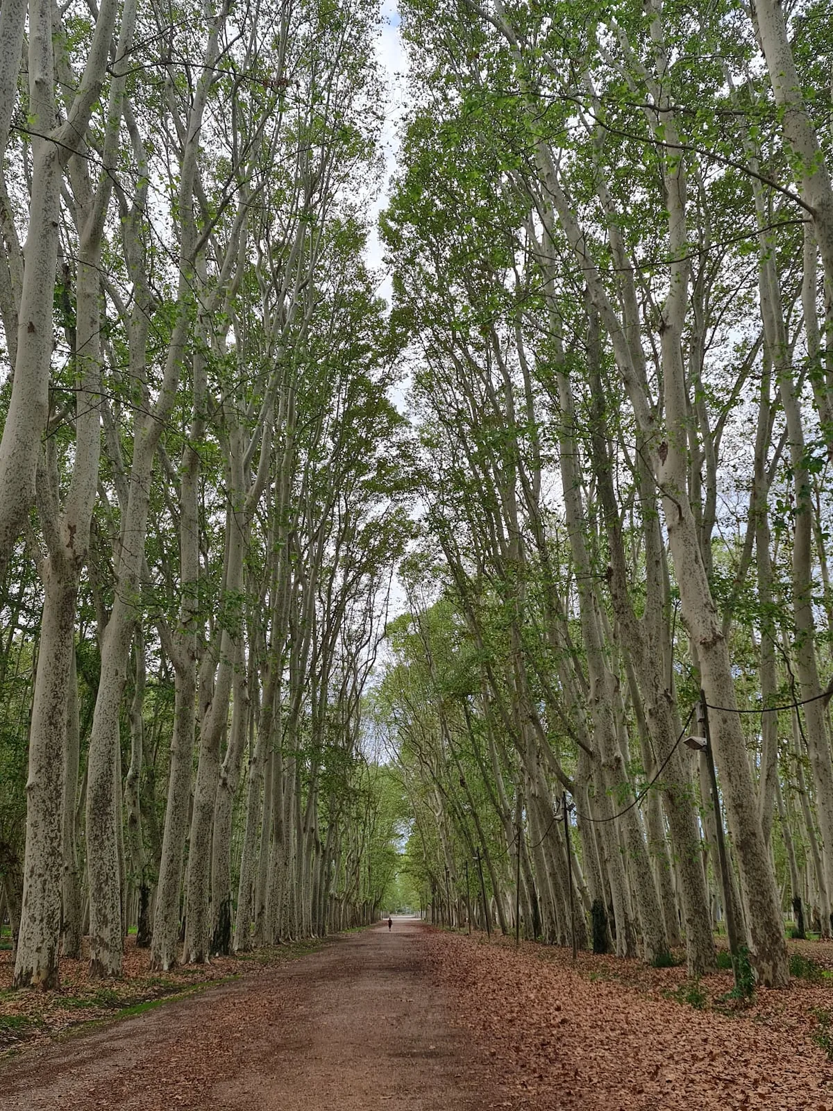
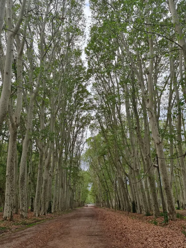
The new tool allows knowing where the tallest forests are or which species have faster growth. The greatest height was detected in a London plane tree (Platanus sp.) in the Devesa of Girona measuring 54.55 meters, equivalent to 18 floors, and the tallest trees ranking is led by those in the Val d’Aran, with a median of 13 meters, and Pla de l’Estany, with 12. Among the fastest-growing trees are firs (Abies alba), with about 27 centimeters per year in half of their population, and beeches (Fagus sylvatica), with 24 cm.
Regarding the urban areas of Barcelona, although the neighborhoods with the highest averages, between 22 and 23 meters, are the Right Eixample, the Old and New Left Eixample, and Sant Antoni, the significant vertical development of the Gothic Quarter, Raval, and Sant Pere, Santa Caterina, and La Ribera stands out, with averages of 19 and 20 meters. Eight neighborhoods exceed 100 m with emblematic tall constructions, such as Vallvidrera, Tibidabo, and Les Planes (Collserola Tower), Barceloneta (Hotel Arts), Raval (Jaume I Tower), Poblenou and Diagonal Mar (Hotel Melià Barcelona Sky), and the Sagrada Familia, in the neighborhood that bears its name.
The LidarTeam was developed by the Research Group Methods and Applications in Remote Sensing and Geographic Information Systems (GRUMETS), with the participation of researchers from UAB and CREAF, and has been published in the journal International Journal of Digital Earth. This new method is based on the massive processing of data obtained with “lidar” technology from flights by the Institut Cartogràfic i Geològic de Catalunya – a small plane equipped underneath with a device with a laser that scans the entire territory. It allows capturing dense and detailed information of the territory – billions of points over tens of thousands of square kilometers – and with rapid updates that until now were very complex for Geographic Information Systems (GIS) applications.
“This approach avoids common errors in previous procedures, for example from power lines or bird flights, and achieves high precision thanks to synergy with other remote sensing data (satellite, aerial infrared orthophotography) and different slope and terrain models,” points out Pons. Additionally, it includes advanced metadata that provide temporal and quality context to make reliable comparisons and understand the vertical dynamics of the territory.
Read more The court upholds the exclusion of a young man with autism from a competitive exam in Vitoria
The research team has validated the method by producing three digital height models – two covering all of Catalonia and one in the Barcelona Metropolitan Area (AMB) – covering 65,000 square kilometers, based on data from 5,355 points on buildings and 4,160 in forests. “We have designed an environment where we can have the height of trees, shrubs, buildings, etc., with extreme accuracy across an entire country and, moreover, with multiple dates to study vertical dynamics in forest and urban areas,” highlights Pons. “The level of detail achieved is especially important in an area as fragmented as Catalonia if you want to understand the texture of the territory and its evolution well, even in the densest areas,” he maintains.
The information provided by the new method, also applicable to other areas of Spain, is key to reliably conducting studies of vertical growth rate and analyzing the relationship with other time series, such as forest fires or land use and cover over nearly half a century. Also to know how the volume of forest wood varies over time and to conduct biodiversity studies.
All data are accessible in the open-source browser of the free GIS and remote sensing software MiraMon, used by 200,000 people in 41 countries. It includes functions that allow scientists and citizens to report if they detect any errors.