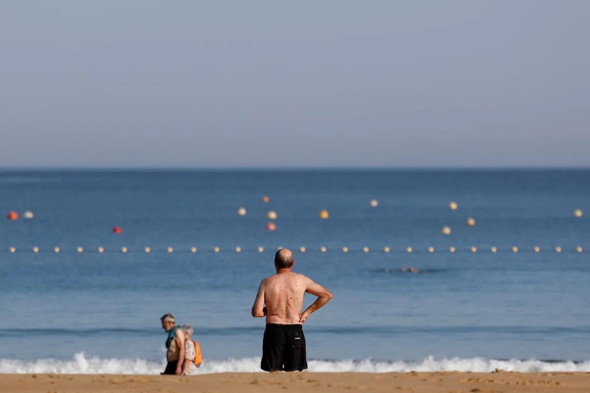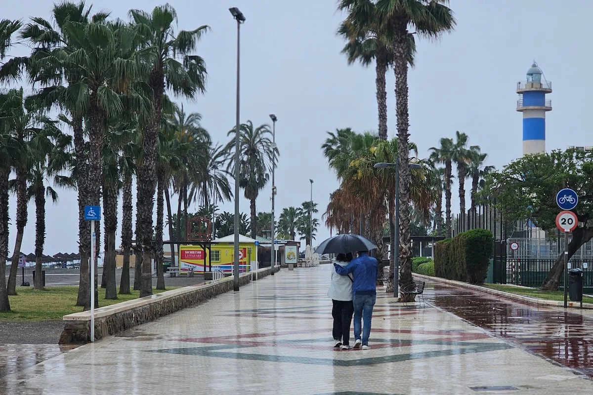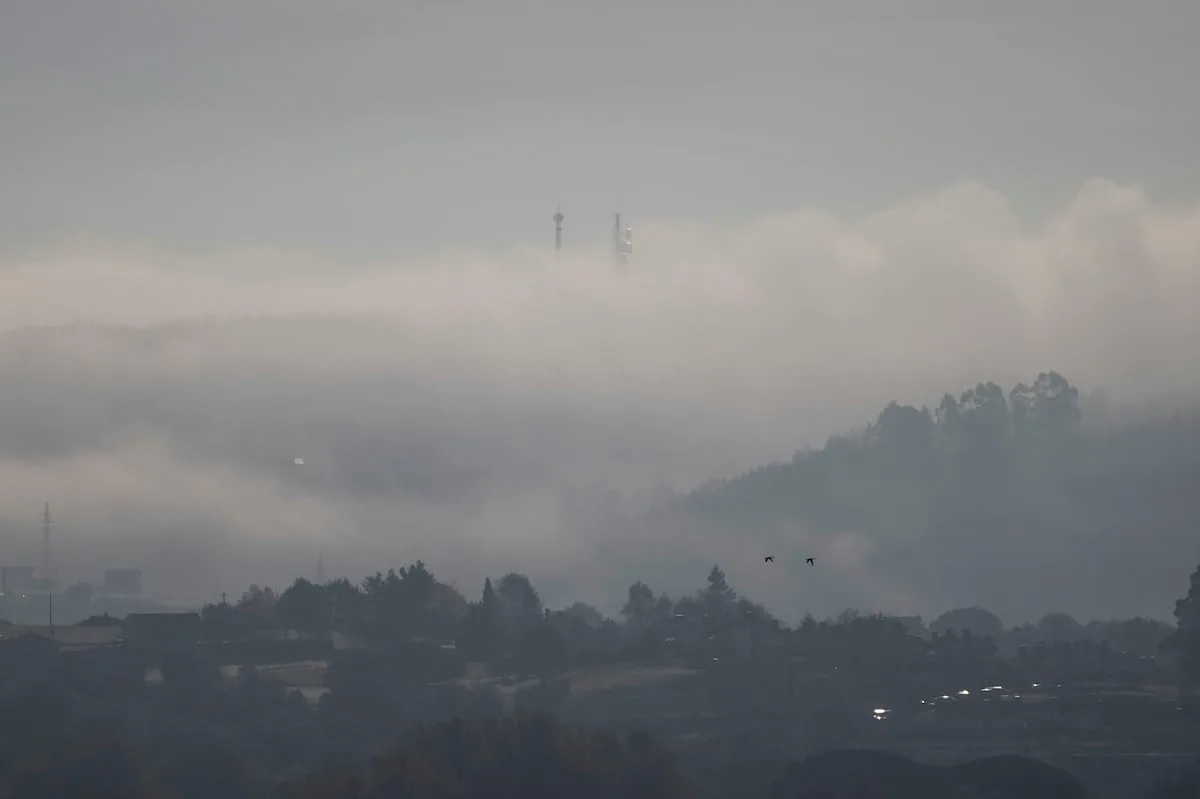










What had been brewing on the meteorological maps is now a reality: this week brings the fourth heatwave of this harsh summer, which is already the warmest, by far, since records began. And this new wave occurs at the worst possible moment, in a full state of emergency due to the fire crisis, with more than 77,000 hectares affected by the flames in Ávila, Madrid and Toledo and 90,000 people evacuated or confined. “Meteorological conditions for extinguishing fires are going to worsen because we are on the verge of a new episode of intense heat and low relative humidity,” warns Rubén del Campo, spokesperson for the State Meteorological Agency (Aemet), which will issue a special heatwave warning this Monday “starting on Wednesday 29 and, at least, until Sunday, August 2.” It will affect all of Spain, with more than 36° generally and more than 40° in the valleys and the south of the Peninsula.
“We do not expect rain this week, and with this new warm episode, the risk of fires will again soar to very high or extreme levels across the country starting on Tuesday, a situation that will persist or even worsen in the following days,” adds the spokesperson. This Monday, thanks to the brief respite in weekend temperatures, this danger is moderate in much of the northern and central peninsula, although it is at very high or extreme levels in areas of Galicia, southern Castilla y León, and western Castilla-La Mancha, as well as in Aragon, Catalonia, the Mediterranean regions, Andalusia, and Extremadura. Up to July 26, 153,000 hectares had been burned in Spain according to the Copernicus Effis system, “a figure that far exceeds the annual average of the last 20 years, which is 95,000 hectares in an entire year.”
Today, moderate danger in much of the northern and central peninsula, but very high or extreme in the Mediterranean and southwest areas.
From Tuesday, a rise in temperatures will trigger the danger to very high/extreme levels in most of the country.https://t.co/Eyx5iwJ4eV pic.twitter.com/kYRrwRpVes
— AEMET (@AEMET_Esp) July 27, 2026
This summer is already shaping up to be the hottest since records began, and that’s without even adding all of August’s heat. And it is the worst summer in the historical series “by far, it is stepping up a notch compared to the summers that were previously the warmest in the series, last year’s and 2022’s.” “The key is that it is not an isolated summer, but rather climate change that is causing summers to start earlier and be more intense, with heatwaves that practically cover the entire summer season,” explains Del Campo.
According to the Aemet spokesperson, these June-July of 2026 constitute the warmest two-month period in the entire series. June was the second warmest June, only behind that of 2025. “And July, right now, is tied as the warmest month of all months in the entire series with July 2022. We will have to wait until the end of the month to see if that tie persists or if the balance tips towards one of the two as the warmest month in our historical series,” he adds.
🌡️ After a brief hiatus, very intense heat returns to most of the country, especially from Tuesday.
➡️ With observed and forecast data, July 2026 would tie as the warmest month since records began with July 2022.
1/2 pic.twitter.com/csDyWuWuHw
— AEMET (@AEMET_Esp) July 26, 2026
Regarding the weather forecast, the week begins with a new progressive rise in temperatures generally after a weekend with an atmosphere that has been “even cool” for the time of year, reminiscent of those Junes when you needed a cardigan at night.
This Monday, temperatures will already exceed 36° in southern Galicia and 38° in Extremadura and the Guadalquivir valley. On Tuesday, temperatures will continue to climb across almost the entire country, and zero rain is expected: “We will wake up with lows of 22° to 24° in the Mediterranean, Extremadura, and the Guadalquivir valley, and highs that will generally exceed 36° to 38°, except in coastal areas. Between 38° and 40° will be measured in southern Galicia, the Ebro valley, the central zone, and the southern half, and over 40° in the Tagus, Guadiana, and Guadalquivir valleys.”
On Wednesday, again a day without precipitation, except for some possible isolated storms in mountainous areas of the eastern peninsular interior, “the thermal ascent will continue in the center and east of the Peninsula and in the Balearic Islands.” Thus, temperatures will exceed 36° to 38° in much of the peninsular interior and the Balearic archipelago, even 38° to 40° in the eastern Cantabrian, with more than 40° in the Ebro valley and low areas of the central and southern peninsula.
For the second half of the week, the Aemet spokesperson considers it probable that temperatures will remain at similar, i.e., very high, values, “with slight rises and falls depending on the days and areas, but in any case with intense heat in most of the peninsula and the Balearic Islands.” The probability of precipitation will be low, except in the Cantabrian, where there may be some drizzles.” In the Canary Islands, the heat will also intensify in the coming days, but not enough to be considered a heatwave.
Read more The popular prosecution lowers its prison sentence request for Begoña Gómez from 24 to 13 years