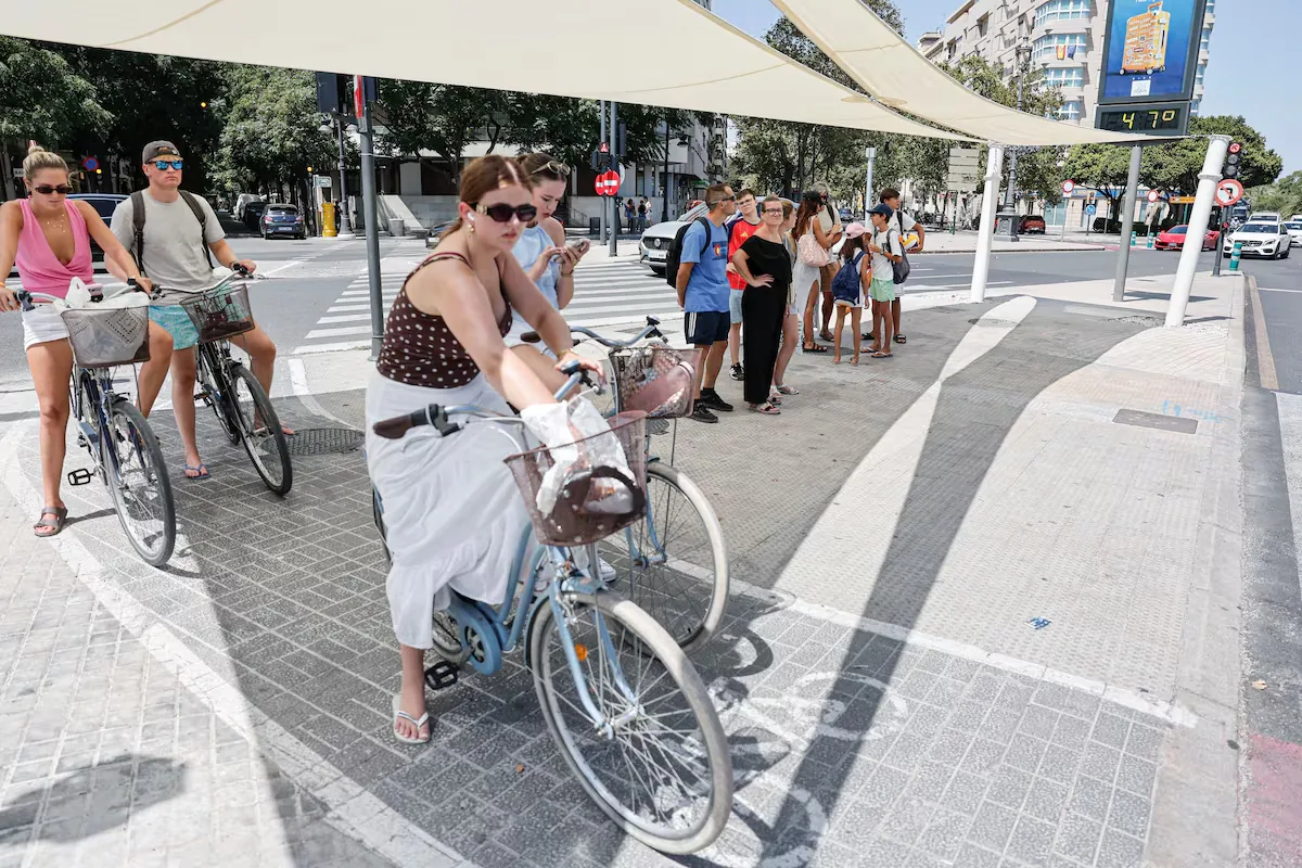









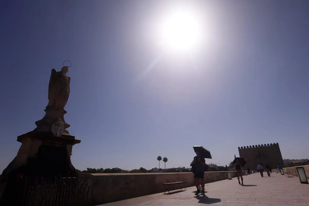
The meteorological truce in Spain is over. After experiencing the warmest summer in recorded history and ending the season with a few days of cool relief compared to normal values, something that was not exceptional in pre-climate change summers but is in recent decades, the heat returns in full force in September with the arrival of a very warm air mass for the season, which is already the start of meteorological autumn. It will bring very high temperatures in the coming days, up to 43° in points of the southern half such as Córdoba and Seville by midweek and up to 40° and 42° in points of the northern half on Friday such as Pamplona and Bilbao, respectively.
Already last weekend temperatures began to rise in most of the country and, in the first week of September, the heat will go from less to more, because the air mass flying over the country will reach temperatures more than 10° above normal, according to calculations by the State Meteorological Agency (Aemet). From midweek, thermometer readings typical of full summer are expected, with between 40° and 43° even in cities such as Seville, Córdoba, Badajoz, Cáceres, Ciudad Real, Granada, Jaén, and Toledo, and even in Lleida, Zaragoza, and Logroño, according to Aemet forecasts.
🌡️ After a few cool days for the season in many areas of Spain, September arrives with full summer heat.
➡️ The air masses over our environment may reach temperatures more than 10 °C above normal, especially from mid next week. pic.twitter.com/zeUn9mDirZ
— AEMET (@AEMET_Esp) August 29, 2026
Maximums around 40° or more will also be reached in many other cities in the country, especially in the interior of the peninsula, as well as torrid nights, where it does not drop below 25°. In the case of Madrid, maximums could reach 38° on Thursday and 39° on Friday. As a consequence of the high temperatures, the fire danger rises again, which this Monday, the last day of August, will be very high or extreme in large areas of the center and east of the Peninsula, as well as in points of the archipelagos.
This Monday, farewell to meteorological summer, “there will be predominance of slightly cloudy or clear skies in most of the country” and only in the Cantabrian there will be cloudy or overcast skies, with probable “weak and scattered precipitation,” according to an audio sent to the media by José Luis Camacho, Aemet spokesperson. In the afternoon, intervals of developing clouds will form due to the heat in the northeast quadrant, which may leave “some isolated showers or storms in mountain areas.”
In the Canary Islands, the typical pattern: cloudy intervals in the north of the islands and slightly cloudy or clear skies in the rest. Maximums “will decrease in the Ebro, the surroundings of the Iberian System, the Valencian Community and, notably, in the eastern Cantabrian and the western Pyrenees; they will rise slightly in the rest.”
🔥 The fire danger will be very high or extreme this Monday in large areas of the center and east of the Peninsula, as well as in points of the archipelagos.
This week temperatures rise, and so will the fire danger. Caution!https://t.co/Eyx5iwJ4eV pic.twitter.com/jWmkx2keI9
— AEMET (@AEMET_Esp) August 31, 2026
The first day of meteorological autumn, Tuesday, presents “a pattern typical of summer, due to the approach of a warm ridge ―an elongated region of high atmospheric pressure― over the Atlantic at altitude.” Maximum temperatures “will rise in the northern peninsula, fall in the south and east, and remain unchanged in the rest.” In figures, 35° may be exceeded in the river valleys of the southwest quadrant and in the south of Gran Canaria. Minimums will rise slightly or remain unchanged in the Peninsula. Tropical nights, not dropping below 20°, will occur on the Mediterranean coasts and areas of Jaén in the Guadalquivir valley.
Wednesday, the warm ridge “will settle over the Peninsula with a small pocket of cold air between Madeira and Cape St. Vincent,” continues the Aemet spokesperson. Maximums will increase in the peninsula and Balearic Islands, less markedly on the coasts, so that 35° may be exceeded in large areas of the southwest quadrant and the southern plateau, the Ebro valley, the depressions of the northeast, and Mallorca; minimums will rise slightly.
It will also be very hot on Thursday, a day when temperatures will continue to rise, especially maximums, which will do so more sharply. More than 35° will be reached in much of the interior peninsula, the Ebro valley, Mallorca, low areas of the southeast, and the south of Gran Canaria, and even 40° in the Guadalquivir and Guadiana valleys.
In the case of Seville and Córdoba, it will even reach 43°, and in Badajoz, 42°. Tropical nights are also expected, with minimums above 20°, on the Mediterranean coasts and much of the southern half of the peninsula.