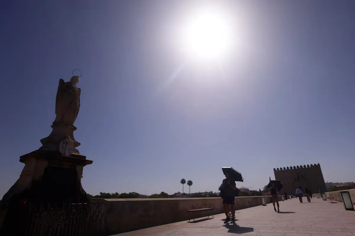








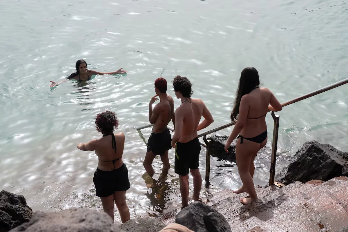
The new summers of climate change seem endless and it is not a metaphor. This year, following the script of a trend that began a few decades ago and is intensifying, it has not only been the warmest since records began, with a record of 61 days under heatwave, but the “summer conditions started in spring” and “continue now in autumn,” confirms the State Meteorological Agency (Aemet). Thus, after a slight thermal relief of barely two days, the heat returns to Spain this weekend. Although “temperatures will not reach as high as those at the beginning of September,” when numerous records were broken, from Sunday onwards they will be between 5 and 10° above normal for these dates in many areas.”
Read more Opens in Madrid La Once Mil, the only taqueria in the world with a Michelin star
🌡 The heat returns.
Temperatures will not reach as high as those at the beginning of September, but from Sunday onwards they will be between 5 and 10 °C above normal for these dates in many areas.
Summer conditions started in spring and continue in autumn. pic.twitter.com/nRoUGcL32a
— AEMET (@AEMET_Esp) September 10, 2026
This Friday, with no active weather warnings, calm weather prevails. “The approach of high pressure from the west will leave a stable situation on the Peninsula and Balearic Islands, with mostly clear or slightly cloudy skies,” notes Aemet on its website. Only the tail of a weak front will leave some cloudy intervals in northern Galicia and the Cantabrian area with a tendency to clear. In the Canary Islands, the usual: cloudy skies in the north of the mountainous islands with light precipitation that will tend to cease and mostly clear skies elsewhere.
Maximum temperatures will drop in the Canary Islands and rise on the Peninsula and Balearic Islands, except in the Cantabrian and most of the southern third of the peninsula, where little change is expected. Locally, temperatures may exceed 35° in the Guadalquivir valley. Minimum temperatures will rise in the northern half of the peninsula, except in the Ebro and eastern Cantabrian, and no changes are expected in the southern half and Balearic Islands. Tropical nights, with minimums above 20°, will occur on the southern Mediterranean coast, under the Guadalquivir, and in the archipelagos.
On Saturday, it continues. “A stable situation will persist in most of the country with predominantly clear or slightly cloudy skies and no precipitation.” Only some cloudy intervals will occur in the Strait area and Melilla, with weak and occasional rain, as well as in the eastern peninsula, with a low probability of isolated showers in coastal points. There will also be morning cloud intervals in Galicia, the Cantabrian area, and upper Ebro, but skies will clear. In the Canary Islands, the usual pattern.
Temperatures will rise in the Canary Islands, the far west of the peninsula, the Cantabrian area, upper Ebro, and much of Andalusia, while little change is expected elsewhere. The 35° threshold will be exceeded in depressions on the southern Atlantic slope. Minimums will remain unchanged and tropical nights will occur in points on the southern Mediterranean coast, under the Guadalquivir, and in the archipelagos.
Read more Marc Orriols, Egyptologist: “Hollywood has done a lot of damage to our view of sex in Ancient Egypt”
☀️ Next week will present fully summer conditions: high temperatures for the time of year and very little rain.
Forecast for the next three weeks 👉https://t.co/d5kgYUn163
— AEMET (@AEMET_Esp) September 11, 2026
And on Sunday, the “generalized stable situation with mostly clear or slightly cloudy skies and no precipitation” will continue, except in the northern and eastern thirds of the peninsula, where there will be cloudy intervals with a tendency to clear, and drizzle in the Strait area and Melilla. In the Canary Islands, the same script, but with the presence of haze.
“Temperatures will rise generally, with moderate increases predominating in the northern half of the peninsula and high areas of the Canary Islands, and slight increases elsewhere.” Now, yes, 35° will be exceeded in wide areas of the southern Atlantic slope, without ruling out the Miño; with tropical nights in areas of the southern Atlantic slope as well as on the southern Mediterranean coasts and the archipelagos.
And, in this endless summer, “next week will present fully summer conditions: high temperatures for the time of year and very little rain,” concludes Aemet in its weekly forecast.
Read more Why it is so difficult to make friends in adulthood: “You care much more about what others will say”