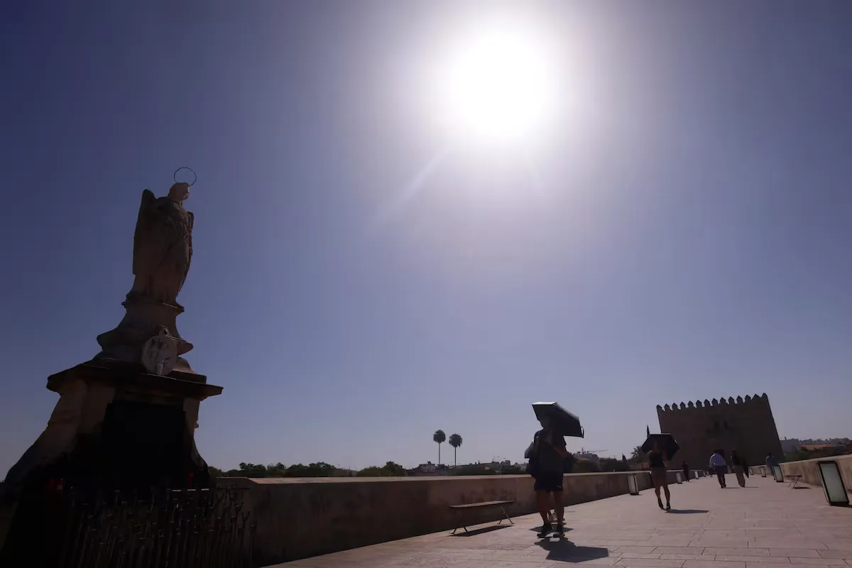









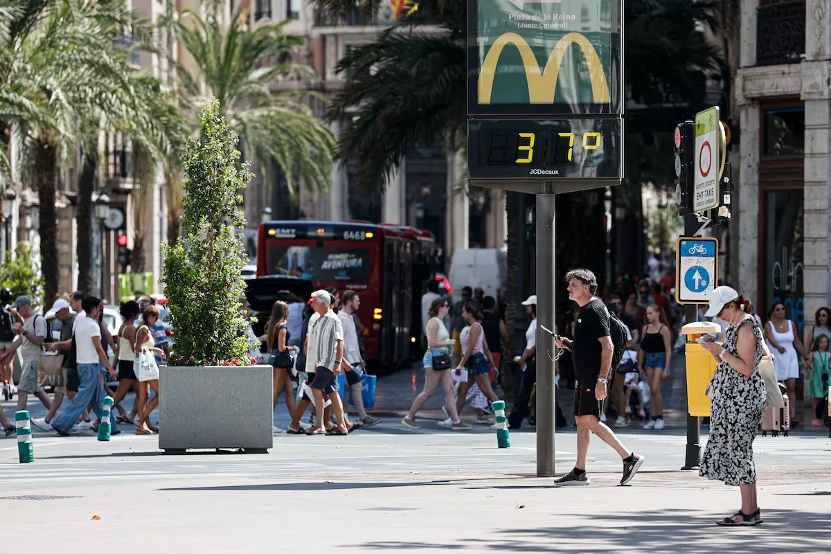
Extreme heat is tightening and tightening and tightening in Spain due to a dana ―a pocket of air in the upper layers of the atmosphere― located southwest of the Peninsula, which adds to a ridge ―an elongated extension of a high-pressure area― over the southeast. Both phenomena, explains José Luis Camacho, spokesperson for the State Meteorological Agency (Aemet), promote “the entry and maintenance of warm Saharan air and conditions for very high maximum temperatures in much of the territory.” The areas where the heat will be most unbearable this Tuesday “are the valleys of southern Galicia, Tajo, Guadiana and Guadalquivir, central points of the Ebro and the western part of Catalonia” and it will also begin to be felt in the interior of Valencia. So much so that Aemet has issued a red alert, or extreme danger, for this Tuesday in Galicia and for Wednesday in the Valencian Community.
Read more Trump declares the Strait of Hormuz «new territory of the United States»
Maximum temperatures “can reach 40° in the Miño of Pontevedra and exceed 39° in the Miño valley of Ourense, Tajo, Guadiana, Ebro and Valencian regions and exceed 40-42° in the Guadalquivir.” These values translate into a warning map with 13 communities in which, in addition to red in Galicia, are in orange ―significant risk, the second level of a three-level scale― Andalusia, Aragon, Castile and León, Castile-La Mancha, Catalonia, Extremadura, Community of Madrid and Valencian Community. In yellow ―the minimum― are the Balearic Islands, Region of Murcia, Navarre and La Rioja.
⚠️ RED ALERT | Maximum temperatures above 40 °C in the Miño area of Pontevedra.
➡️ Warning in effect from 13:00 to 20:59 on August 18.
➡️ Extraordinary danger!. Follow the recommendations of Civil Protection.
1/2 pic.twitter.com/6ubhcdtflh
— AEMET (@AEMET_Esp) August 18, 2026
As a consequence of the soaring temperatures and low humidity in the environment, the risk of fires will continue at very high or extreme levels in much of the northern half, Mediterranean area, Balearic Islands, central zone and Extremadura.
On Wednesday, “the anticyclonic ridge intensifies and moves eastward, dragging the dana and beginning to reintegrate it into the general circulation.” This means that, “at the surface, westerly winds with anticyclonic rotation in the southern half will cause an additional warming effect, which will raise temperatures significantly in the interior and coast of Valencia and Alicante.”
Maximum temperatures “will rise significantly in Levante, Catalonia, Aragon and the Balearic Islands, with extraordinary increases on the coast of Valencia.” In degrees, “36° will be exceeded in central points and 38° in the Ebro valley, pre-Pyrenees of Aragon and Catalonia and the depressions of the northeast, Balearic Islands, southeast and Valencian Community, with temperatures possibly exceeding 40° in low interior areas of the Ebro in the provinces of Valencia, Alicante and Murcia.”
⚠️ RED ALERT | Very high maximum temperatures on the coasts of Valencia and northern coast of Alicante.
➡️ Warning in effect on Wednesday, August 19 between 13:00 and 20:59.
➡️ Temperatures will exceed 42-44 °C.
➡️ Extraordinary danger! Follow the recommendations of Civil Protection. pic.twitter.com/q1G4GdgU6H
Read more 132 civil guards will be in charge of the security of the Vuelta Ciclista a España
— AEMET (@AEMET_Esp) August 18, 2026
By contrast, in the north and west of the Peninsula, temperatures “will experience a drop that will be particularly notable in Pontevedra.” Minimums will fall in Galicia, the Cantabrian coast and the southwest quadrant, but will rise in the rest. “We will continue with tropical nights, not dropping below 20°, on the Mediterranean coasts and there will be notable torrid nights ―above 25°― on the Valencian coast on the night from Wednesday to Thursday,” warns the meteorologist.
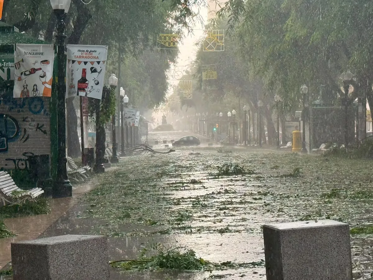
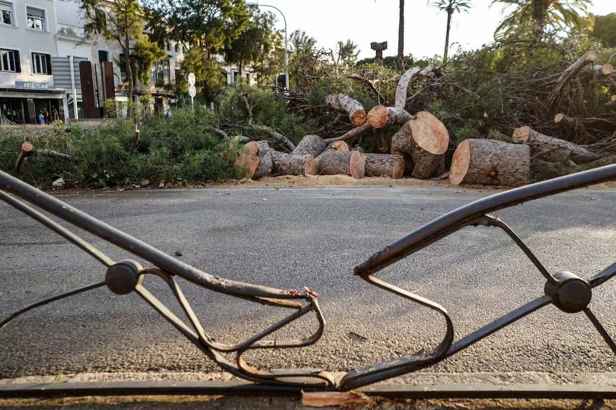
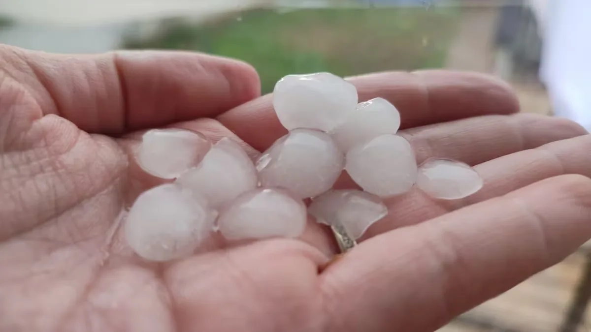
In the Cantabrian region, “a front will bring cloudy or overcast skies and precipitation” and, from midday, the development of convective clouds is expected in interior areas of the Peninsula, with showers and storms in the Pyrenees and extreme northeast, which are not ruled out in the Betic, Iberian and Cantabrian mountain systems. The storms “could be intense and accompanied by very strong gusts of wind and hail in the northeastern peninsula.”
Heat warnings remain in 13 communities, but the red alert moves from Galicia to the Valencian Community. It is orange in Andalusia, Aragon, Castile-La Mancha, Catalonia and Murcia and yellow in the Balearic Islands, Castile and León, Galicia, Madrid, Navarre, Basque Country and La Rioja.
Regarding the fire risk, “the situation worsens significantly, with extreme danger in most of the Peninsula and Balearic Islands” due to heat and increased wind. “Special attention to the Mediterranean regions due to high temperatures, westerly winds and extremely dry conditions,” urges the Aemet spokesperson.
On Thursday, the ridge loses presence and the dana strengthens, which will bring “a widespread change in the weather in many parts of the territory” that has led Aemet to issue an informative note for rain in the northern and eastern peninsular areas. Along with these precipitations, “the entry of Atlantic air promotes a marked drop in temperatures throughout the western half and in the north.”
Read more Law and Order: Organized Crime