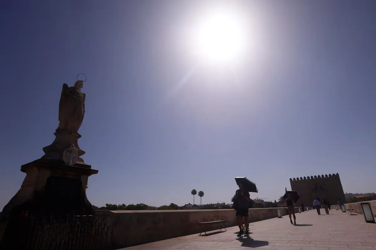










The new episode of high temperatures that Spain has been suffering since the beginning of the week experiences this Wednesday its final blast with red warnings along the entire coast of Valencia and the northern coast of Alicante, where temperatures exceeded the 42°/43° barrier early in the afternoon and have already reached 44°. “The forecasts are being fulfilled,” laments José Luis Camacho, spokesperson for the State Meteorological Agency (Aemet), who imagines the extremely dry heat in these areas as “when an oven with a fan is opened,” burning even the eyelashes.
In addition to these areas of the Valencian Community with extreme danger due to high temperatures, the entire eastern peninsula remains under warning, which is orange ―significant risk― in Andalusia, Aragon, Castilla-La Mancha, Catalonia, and Murcia and yellow ―the minimum― in the Balearic Islands, Castilla y León, Galicia, Madrid, Navarra, Basque Country, and La Rioja. Rain is also expected in the northern mountains and especially in the Eastern Pyrenees, with Catalonia under orange warning for rain and storms, which is yellow in Castilla y León and Aragon.
19/08 12:24 WARNINGS TODAY AND TOMORROW | Spain: storms, maximum temperatures, rain, coastal, winds and rissagas. Maximum warning level: red.
Updates at https://t.co/BLdoSsO2Qv pic.twitter.com/wzMyQKCmIf— AEMET (@AEMET_Esp) August 19, 2026
Although paradoxical, what is happening in Valencia is the first sign that “the weather is starting to change, the wind is starting to blow” almost for the first time in the entire eternal and harsh summer, which has been characterized since June by a ridge over the Peninsula, little wind movement, and stifling heat that has not given a single break and has had Spain “cooking on fire.”
The reason the wind is starting to increase is a subtropical jet, so for now, it will not be the cold wind that will come over the weekend as an unexpected gift, but on the contrary, it is a reheated wind coming from the south, from Almería, Granada, and Albacete, descending from that plateau, crossing the mountains, and reaching the Valencian and Alicante coast very, very, very reheated because, as it descends, pressure and temperature increase. “That extra heat adds to the sunshine, and the result is that 10° are added to the temperatures,” explains the expert.
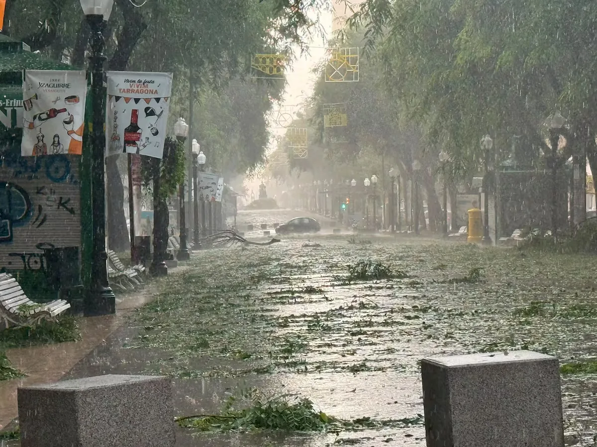
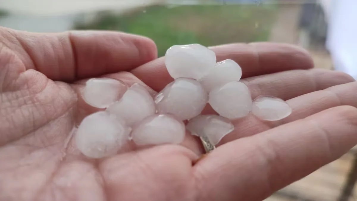
Meanwhile, the situation is also starting to move over the Cantabrian Sea, “where a cold front is approaching the northern coast of the Peninsula.” On Thursday there will be a wind shift: a DANA located southwest of the Peninsula will be attracted by the powerful subtropical jet, the same one causing the winds in Valencia, and will start moving upward to become a small shortwave trough that will travel across the Mediterranean. This trough will bring “severe storms, precisely in the southeastern areas where the heat is cooking today, especially inland and on the coasts of Valencia,” with strong wind gusts and hail. “And this will be the end of the episode, the heat is over,” announces Camacho.
Read more The announcement of the success of the first melanoma vaccine boosts Moderna and Merck stocks
⚠️ INFORMATION NOTE | Widespread rain in the northern and eastern peninsulas.
➡️ Local flooding may occur, especially around the Pyrenees.
➡️ On Thursday, storms with large hail and very intense wind in southeastern areas.
+ info 👉https://t.co/0qneNvQx4A pic.twitter.com/ZYufpm0Jcu
— AEMET (@AEMET_Esp) August 19, 2026
Friday will be a transition day and, immediately after, another episode will come, with “an important weather change”: the first Atlantic storm of autumn… in the middle of August. The cause will be the arrival of another trough, this time large and from the Atlantic, along with the change of the air mass to another “practically Arctic,” which will drop temperatures and bring “quite heavy precipitation.”
“It is a very pronounced, very serious trough that will affect much of the Peninsula and the Balearic Islands. The summary is that temperatures will fall below normal generally for the first time all summer and that the weather will be very unsettled on Saturday, Sunday, and Monday, probably throughout the Iberian Peninsula and the Balearic Islands, but it is very complicated to go into detail because, depending on how it is configured, it may affect some regions more than others. We have to see it step by step and day by day to refine the forecasts,” admits the meteorologist.
In principle, the most likely scenario today is widespread and intense rain in the northern and eastern peninsulas with local flooding, especially around the Pyrenees. On the thermometers, the drop will be an average of 5°, but in areas like the central and northern zone, it will be extraordinary, up to 10°. “In the center of the Peninsula, the thermal relief will be significant, and in the north, it will be quite cool, and you will have to bring out the sweater,” concludes the Aemet spokesperson in a telephone conversation with EL PAÍS.