








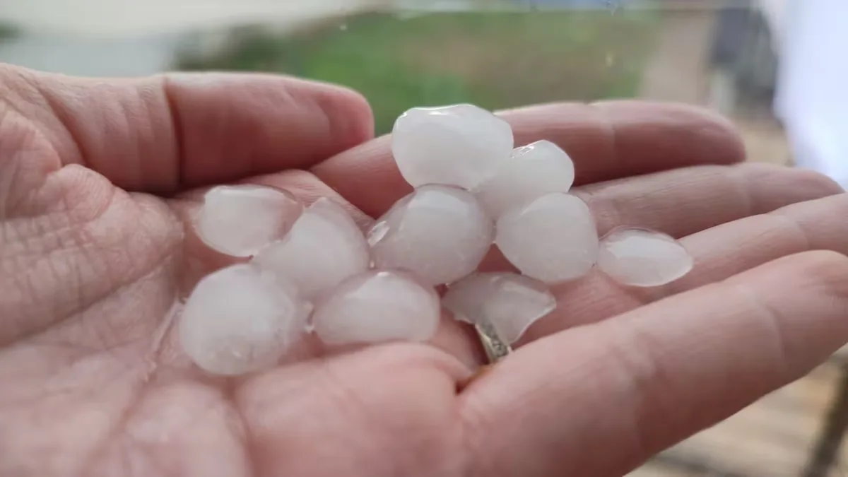
Spain is on the verge of a significant atmospheric pattern change this weekend, with the high-pressure system retreating to the quarters of Iceland, the ridge on vacation in Italy, the intrusion of an Arctic air mass, and the appearance of a trough and even a possible cut-off low, which will bring heavy rains and drop temperatures by between 5 and 10 degrees below normal values. This is a configuration more typical of autumn, but it will happen in August. Is this normal? Five experts consulted by EL PAÍS agree that this autumnal strike is within normality, although it is rare in recent years, when summer extends well into the next season. The distinguishing feature is the large amount of energy accumulated in a boiling Mediterranean Sea, an extra that can lead to a very adverse situation, with possible hailstorms and flash floods.
Read more We put the best dog brushes to the test to find out which one is really worth it
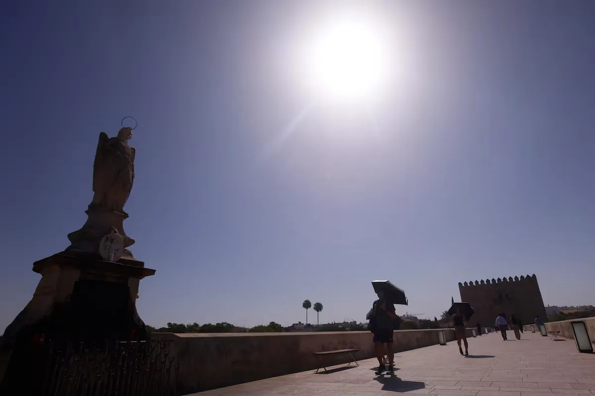
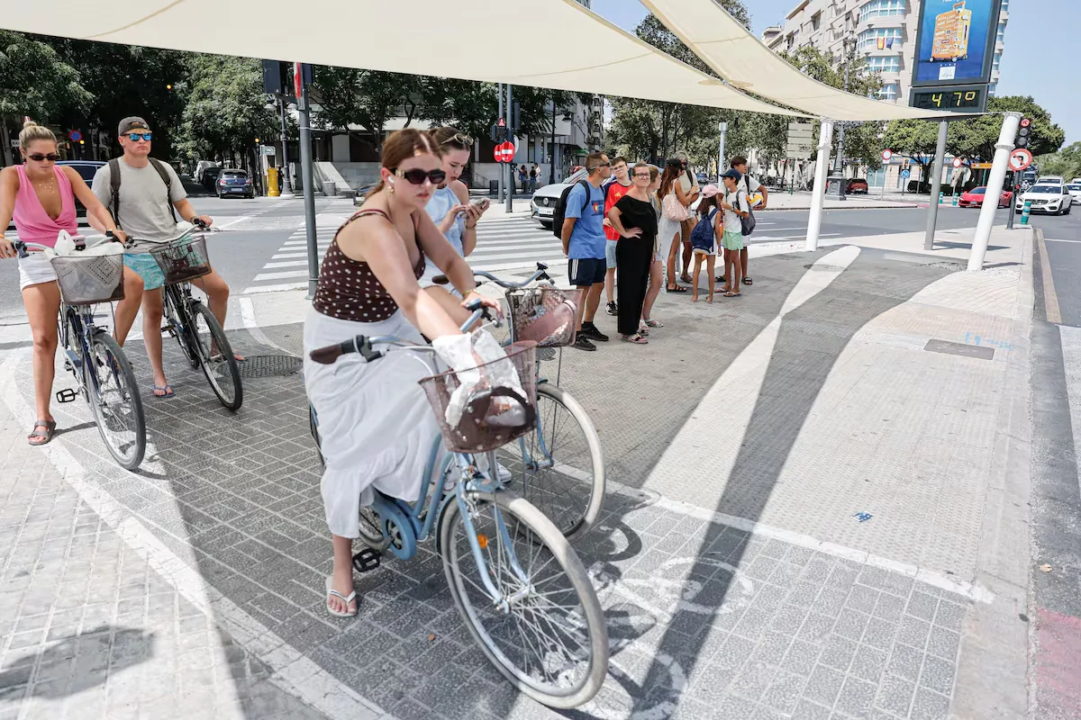
“This storm is within the normal range; what was not normal was what we had until now,” says José Luis Camacho, spokesperson for the State Meteorological Agency (Aemet), who explains that this summer “has been characterized by the persistence of a strong high-pressure ridge in various positions, but without moving over most of the Peninsula, especially over the Mediterranean.” This insistence has generated “a situation of great stability” that has translated into “a large warm blanket a few hundred meters above the ground with little air movement” from June to August, which has only occasionally been broken by some storms.
What we had until now was not normal; what we will have from now on, neither. The high-pressure system completely withdrawn by the end of August and a succession of troughs crossing Europe. A configuration typical of early autumn, in the middle of summer. pic.twitter.com/gpcc4qsEQj
— Adrián Cordero (@Adricor_fer) August 19, 2026
“June was the second warmest June on record and July was the warmest month of the entire series, not just Julys. August is also being tremendous, but it may not end up being so stratospheric thanks to this autumnal episode. In any case, this summer is a historic event, it will be in the top three warmest,” Camacho contextualizes. For Mar Gómez, director of the meteorology team at eltiempo.es, “the summer of 2026 is clearly in a position to challenge the record of summer 2025, which ended with an average of 24.2° and an anomaly of +2.1°.”
The heat has had Spain “slow-cooking” since June. “There have been some breaks, but very few. For example, between July 25 and 27, temperatures dropped to normal or even somewhat cool values,” Gómez points out. But suddenly, experts describe, the persistent ridge retreats to Italy and the Azores high-pressure system moves to Iceland, allowing “a small cut-off low located southwest of the Peninsula and a very intense subtropical jet” to open the door to “the first serious weather situation coming from the Atlantic,” creating a highway that allows the entry of an Arctic air mass.
⚠️ INFORMATION NOTE | Widespread rains in the northern and eastern peninsular areas.
➡️ Local flooding may occur, especially around the Pyrenees.
➡️ On Thursday, storms with large hail and very strong winds in southeastern areas.
+ info 👉https://t.co/0qneNvQx4A pic.twitter.com/ZYufpm0Jcu
— AEMET (@AEMET_Esp) August 19, 2026
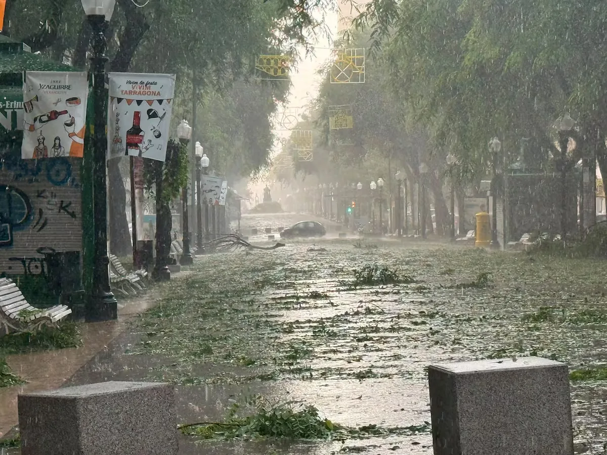
From Friday onwards, continues Meteored climatologist and meteorologist Samuel Biener, a trough ―a tongue of colder air at mid and upper levels of the atmosphere to the west of the Peninsula― will drop to the west of the Peninsula, “where it will be quite stationary, which will cause a very marked instability situation that, together with the warm and humid wind coming from the Mediterranean” and the entry of an Arctic air mass, will leave between Saturday and Monday “a situation of very strong and even torrential and organized storms with possible convective systems, hail, and also strong wind gusts.”
Meteored does not rule out more than 100 liters per square meter falling in areas of the northern peninsula or the northeast. Ángel Rivera, former head of forecasting and spokesperson for Aemet, warns of the danger that a cut-off low ―a pocket of air in upper layers— may form within the trough, which would be “very dangerous because where it settles it can cause very strong storms throughout the north and part of Catalonia.” The sharp drop in thermometers will be the other major consequence: it will be time to bring out the sweater. Meteorologist César Rodríguez Ballesteros specifies that the coldest day will be Monday, with an average temperature for the whole of Spain of 22 degrees, up to 3.5 degrees below its normal value. It will be especially noticeable in the highs, which will be on average 4.2 degrees lower than normal. Locally, in sectors of the northern interior, the anomaly in daytime temperatures may be 5-10 degrees below climatology.
Read more I have tested the microwaves that you can integrate into your kitchen furniture
“By areas, the most notable anomalies will be in Extremadura on Sunday, 5 degrees on average below the normal value. The same anomaly is expected on Monday in parts of Extremadura, Castilla-La Mancha, and Castilla y León, and anomalies between -4 and -5 degrees in the rest of these three communities, Aragón, Madrid, La Rioja, Navarra, and part of Catalonia,” he details, adding that “although it is not the first time temperatures will be below normal this summer, it will be the most notable episode.”
All in all, this situation “would fall within climatologically normal” according to Rivera, who also emphasizes that “what is really very exceptional and anomalous is this summer, not because striking records have been reached, but because it has been very heavy, average temperatures are sky-high, the minimums are a nightmare, and there is a lot of humidity due to the strong load of subtropical air at mid-levels.”
In the weather-Ángel Rivera: A “heavy” summer: the signature of humid subtropical air.https://t.co/i7wbe5tLKo pic.twitter.com/8O1XSN9oWL
— angel rivera (@angel_rivera8) August 19, 2026
“It is an Atlantic storm that indeed resembles autumn,” Camacho adds. The problem is that we have gotten used to summers extending into September, but “it must be remembered that meteorological summer covers June, July, and August, so from mid-August it was not uncommon for this type of Atlantic disturbances to start entering occasionally,” clarifies the Aemet spokesperson, for whom these types of situations are neither exceptional nor extraordinary. “The extraordinary thing is that nothing happened in the three months we were under the high-pressure wedge,” Camacho concludes.
Biener, for whom this autumnal advance also “falls relatively within normal from the second half of August,” recalls that “popularly in some rural areas of Spain and America this situation is known as the breaking of the dog days, which is when temperatures drop and storms begin to gain intensity and extent due to the arrival of troughs or cut-off lows.” It is even in the saying: “By St. Bartholomew [August 24], there must be storms.” For this researcher from the University of Alicante, what is different this time is that there is “good fuel, a very hot Mediterranean, with the Dragonera buoy 24 hours without dropping below 30°, so we have all the ingredients for the storms to be intense.”
The head of eltiempo.es also agrees that “it may seem very autumnal due to the contrast, but it is not an anomalous or impossible configuration for late August, although it is rare in recent years.” “In the last part of the meteorological summer it is perfectly possible for the Azores high to temporarily retreat, for the jet stream to form undulations, and for troughs from higher latitudes to reach the Peninsula,” she details, concluding that, nevertheless, “this cold episode will stand out a lot because it comes after a summer with a huge predominance of warm anomalies.”
But no one should rush to change their wardrobe because summer is not over. “We will have 8 to 10 days with mild temperatures, which does not mean that September will not return with force, because in September 2016 we already reached 45°. That would indeed be more anomalous, but unfortunately it would fall within the new normal,” Rivera points out.
Read more Who designs the artificial intelligence of the future (and why are women still missing)