








Unstable weather will mark the May 1st holiday weekend, with widespread rain and storms between Friday and Saturday, which could be strong in several areas of the eastern and northern peninsula, while for Sunday Aemet foresees a slight improvement with clearing skies, although rain will persist in the far north. As for temperatures, according to the State Meteorological Agency, they will remain at values typical for the season. However, on Saturday there will be an almost widespread thermal drop in much of the country, reinforcing the feeling of cooler weather.
Read more Queen Letizia advocates for the place of Roma women in the public space
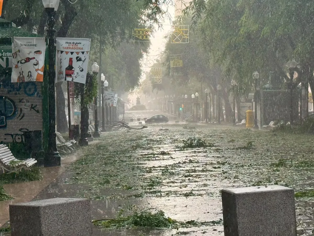
On Friday, the May 1st holiday, Labor Day, will begin with an increase in instability in the eastern half of the peninsula and the Cantabrian area, where showers will predominate, especially in the afternoon, accompanied by locally strong storms in regions of the eastern peninsula. Abundant cloudiness with occasional showers is also expected in the Balearic Islands and in the Galicia community, while in the rest of the country cloudy intervals and high clouds will dominate.
During the day, morning fog banks will also be likely in Galicia, the Cantabrian area, the upper Ebro, and points in the eastern interior.
That day, maximum temperatures will drop in the Balearic Islands and the eastern peninsular area, with falls that could be “notable” in the Valencian Community, where maximums will barely reach 20 or 22 degrees, while in the rest they will tend to rise. The highest temperatures will be recorded in Badajoz, Ciudad Real, Córdoba, Granada, Bilbao, or Madrid, where thermometers will range between 24 and 27 degrees. Santander will record the lowest maximum, with 19 degrees.
For Saturday, “the passage of a trough will leave a very unstable environment in much of Spain,” especially in the northern half of the peninsula with showers moving from west to east throughout the day and which could be strong and stormy, without ruling out the southern mountain ranges, although with less probability. In the Balearic Islands, cloudy skies will persist, while in the Canary Islands cloudy intervals with light precipitation will also predominate.
Read more Much more than an iron: the Rowenta steam brush that also removes hair and lint (on sale today)
Maximum temperatures will register a “sharp drop” in almost the entire peninsula, especially in the center, while minimums will rise slightly in the west of the plateaus and the eastern Cantabrian: Soria, Vitoria, Segovia, Ávila Santander, Palencia, Oviedo, and A Coruña, among other capitals, will not exceed 16-18 degrees maximum.
On Sunday, the “influence of the trough will still persist in the northeastern peninsula,” with overcast skies and precipitation accompanied by storms in the northeast, which could reach the north of the Balearic Islands. In the Cantabrian and the far north, cloudy skies with precipitation will continue, while in the Canary Islands cloudy intervals will remain. Mist and fog will also be likely in high areas of the Peninsula.
However, Aemet has highlighted that throughout the day the situation will tend to stabilize from west to east, with clearing skies and predominance of medium and high clouds in much of the territory.
Maximums will rise slightly in the southeastern half and in the Balearic Islands, with increases that could be notable in the Valencian Community, while they will drop in the north, especially in the eastern Cantabrian. That day, the highest values will be in cities such as Seville reaching 27 degrees and Córdoba and Badajoz around 25 degrees. In contrast, the north and the Cantabrian coast remain cooler, with maximums barely reaching 16-19 degrees in cities such as Santander, Oviedo, or A Coruña.