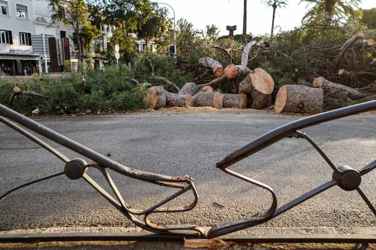









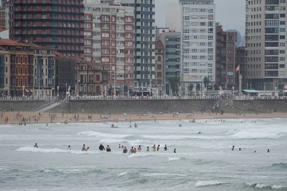
The dana that affected Spain last weekend is moving away and weakening this Monday “with the arrival of an anticyclone ridge over the northern half of the Peninsula and the Balearic Islands, which will cause a rise in maximum temperatures,” announces a spokesperson from the State Meteorological Agency (Aemet), José Luis Camacho. This intense heat will last until Wednesday, when the passage of a succession of danas and troughs will cause temperatures to drop and the rest of the week to be much milder.
Read more Rototom, the festival that saves more than three million plastic bottles for the planet
For this Monday, Meteorology expects “very cloudy or overcast skies and light precipitation in the Cantabrian region and low clouds with a tendency to clear in the Strait, Ceuta, and Melilla.” From the central hours of the day, “development of convective clouds is expected in the mountain areas of the center, south, and east of the peninsula.”
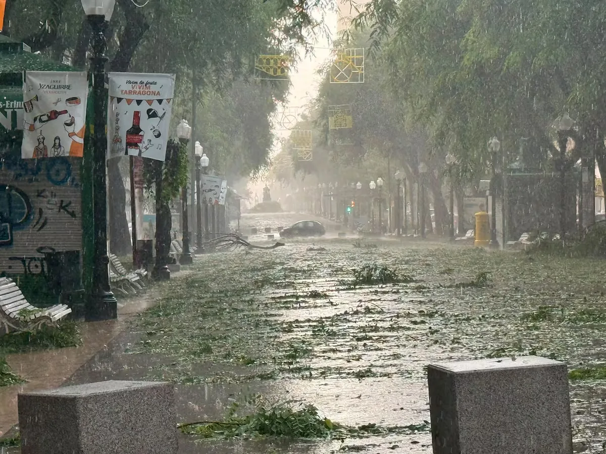
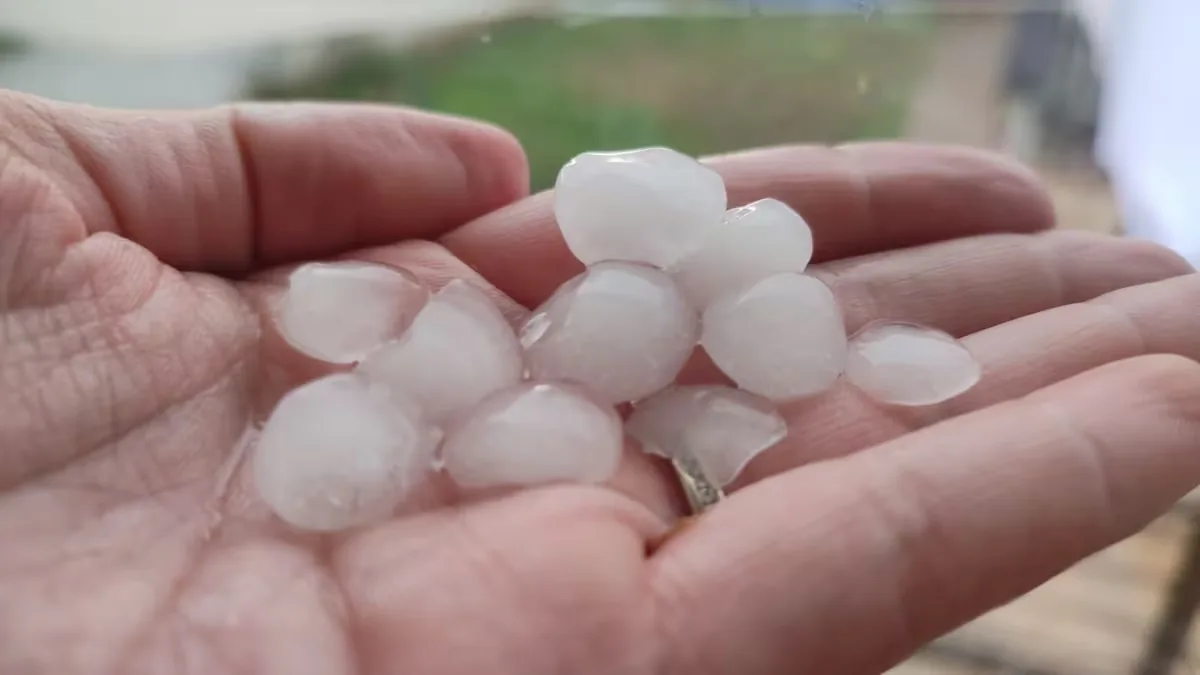
Showers and storms are likely, accompanied by very strong wind gusts and hail, in Extremadura, Castilla-La Mancha, the Betic Systems, Cádiz and surrounding areas, the lower Ebro, and the Pyrenees. The storms may locally leave amounts between 15 and 25 liters per square meter in one hour in the provinces of Cádiz, Málaga, Castellón, Teruel, Barcelona, and Girona. In the Canary Islands, cloudy intervals may bring some rain to the more mountainous islands.
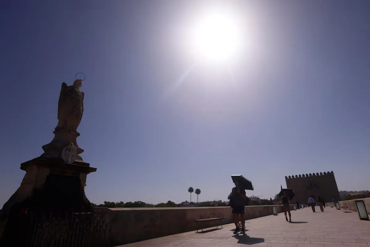
On the thermometers, maximum temperatures “will rise generally inland, remain unchanged on the coasts and in the Balearic Islands, and slightly drop in the Canary Islands.” Thus, temperatures will exceed 35° in much of the southern half, the northeast, the Balearic Islands, Galicia, Madrid, and in parts of Castilla y León and Valencia, and 40° will be reached at times in the Guadalquivir and Tagus valleys. Minimum temperatures “will rise in the central peninsula and remain unchanged in the rest of the Peninsula and the archipelagos.” They will only drop slightly in the north.
The fire risk will continue to be “very high or extreme” in Galicia, western Castilla y León, Extremadura, southern and eastern Castilla-La Mancha, the eastern half of Andalusia, the Mediterranean area, and the Balearic Islands, while there will be low or moderate levels in the Canary Islands. There are warnings in 10 communities: Andalusia (yellow for rain and storms and orange for heat), Aragon and Catalonia (yellow for all three phenomena), Balearic Islands, Castilla y León, Galicia, and the Community of Madrid (yellow for heat), Castilla-La Mancha and Extremadura (yellow for heat and storms), and the Valencian Community (yellow for rain and storms).
17/08 12:18 WARNINGS TODAY AND TOMORROW | Spain: maximum temperatures, storms, and rain. Maximum warning level: orange.
Updates at https://t.co/BLdoSsO2Qv pic.twitter.com/nfFyGKBmMp— AEMET (@AEMET_Esp) August 17, 2026
On Tuesday, the most notable will be “high temperatures in Galicia and much of the central and southern peninsula, the Ebro valley, and Catalan depressions.” Stability will dominate with mostly clear or slightly cloudy skies: only in areas of the Cantabrian region and the Strait, Ceuta, and Melilla may there be low clouds, although with a tendency to disappear.
In the afternoon, as always when some instability and high temperatures combine, convective clouds are expected again in interior points, with the possibility of isolated storms in the main mountain systems inland and in the Pyrenees. In the Canary Islands, an increase in cloudiness may bring some precipitation to the mountainous islands.
Read more Driverless trains of Metro de Madrid are already running in tests, at night and without passengers
Maximum temperatures will rise in the northern half, Málaga, the southeast, and the Canary Islands. In the southwest and Balearic Islands, they will remain unchanged or drop. Temperatures above 35° may be exceeded in the Balearic Islands and almost all of the Peninsula, except the Cantabrian region and mountainous areas, and 40° in the Guadalquivir.
Minimum temperatures will begin to drop in the northeast and southwest but will rise in parts of the center, the Valencian Community, and the Balearic Islands. “We will continue with tropical nights, not dropping below 20°, in large areas of the southwest, Mediterranean coasts, and occasionally in the northeast of the Cantabrian region, with torrid nights, not dropping below 25°, in parts of the Mediterranean coast,” warns Camacho. The fire risk will continue at very high or extreme levels in much of the northern half, the Mediterranean area, the Balearic Islands, the central zone, and Extremadura, and moderate levels in the Canary Islands.
For Wednesday, “the approach of a trough ―a kind of tongue in the upper layers of the Troposphere― and an Atlantic front and the reabsorption of the remains of the Atlantic dana —a pocket of air also in upper layers— will cause “the beginning of a significant change in the weather.” From midday, convective clouds will grow over much of the Peninsula.
“Showers and storms will be likely in the Pyrenees, Betic Systems, northern Iberian System, and Cantabrian Mountains, without ruling out that they may extend to low areas or also appear in the southeast,” forecasts the spokesperson, warning that “the storms may be intense and accompanied by very strong gusts and hail.” In the Canary Islands, cloudy intervals may bring some rain to the mountainous islands.
Maximum temperatures “will drop generally but will rise especially in Valencia and, to a lesser extent, in Catalonia and the Balearic Islands.” In the Valencian Community, thermometers may exceed 35° in central points and, in the provinces of Valencia and Alicante, may reach 38°. Elsewhere, 35°. Minimum temperatures will drop in Galicia, the Cantabrian region, and the southwest quadrant, while rising in the rest, so there will be more tropical nights on the Mediterranean coast, the northwest, and in interior points, and torrid nights on parts of the Mediterranean coast. In the Canary Islands, temperatures will rise slightly.
For Thursday and Friday, the entry of the trough and an Atlantic cold front will generally lower temperatures and bring precipitation to many points of the Peninsula.
Read more The Government announces that it enables four spaces to accommodate 1,500 migrants in Ceuta