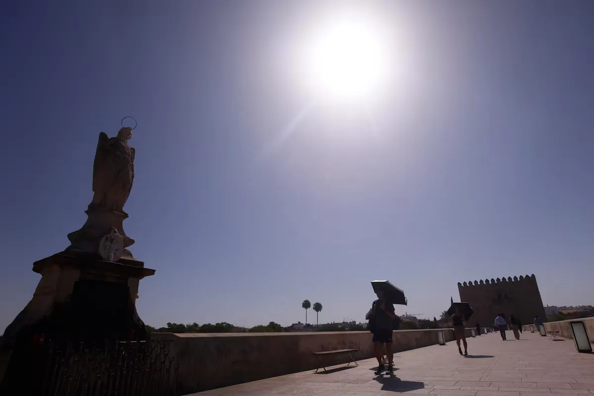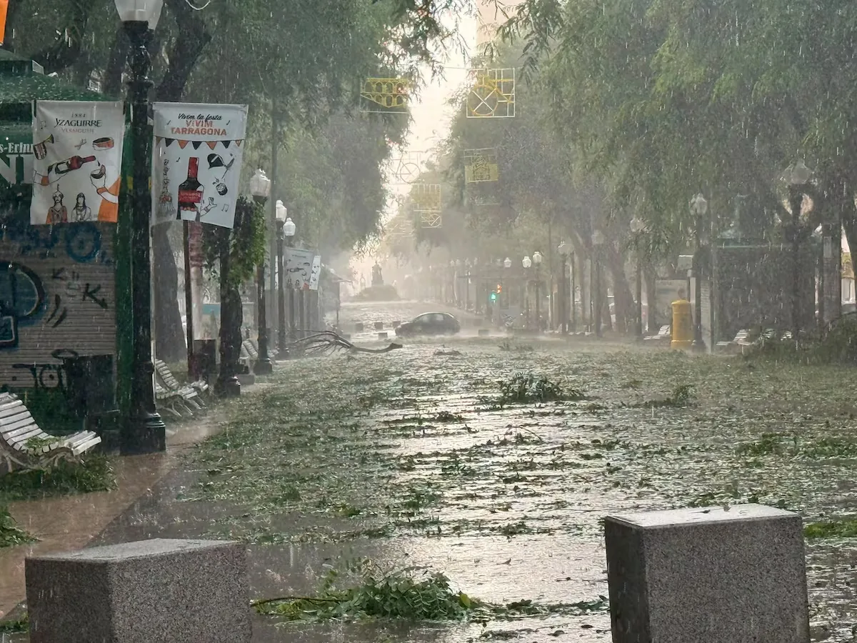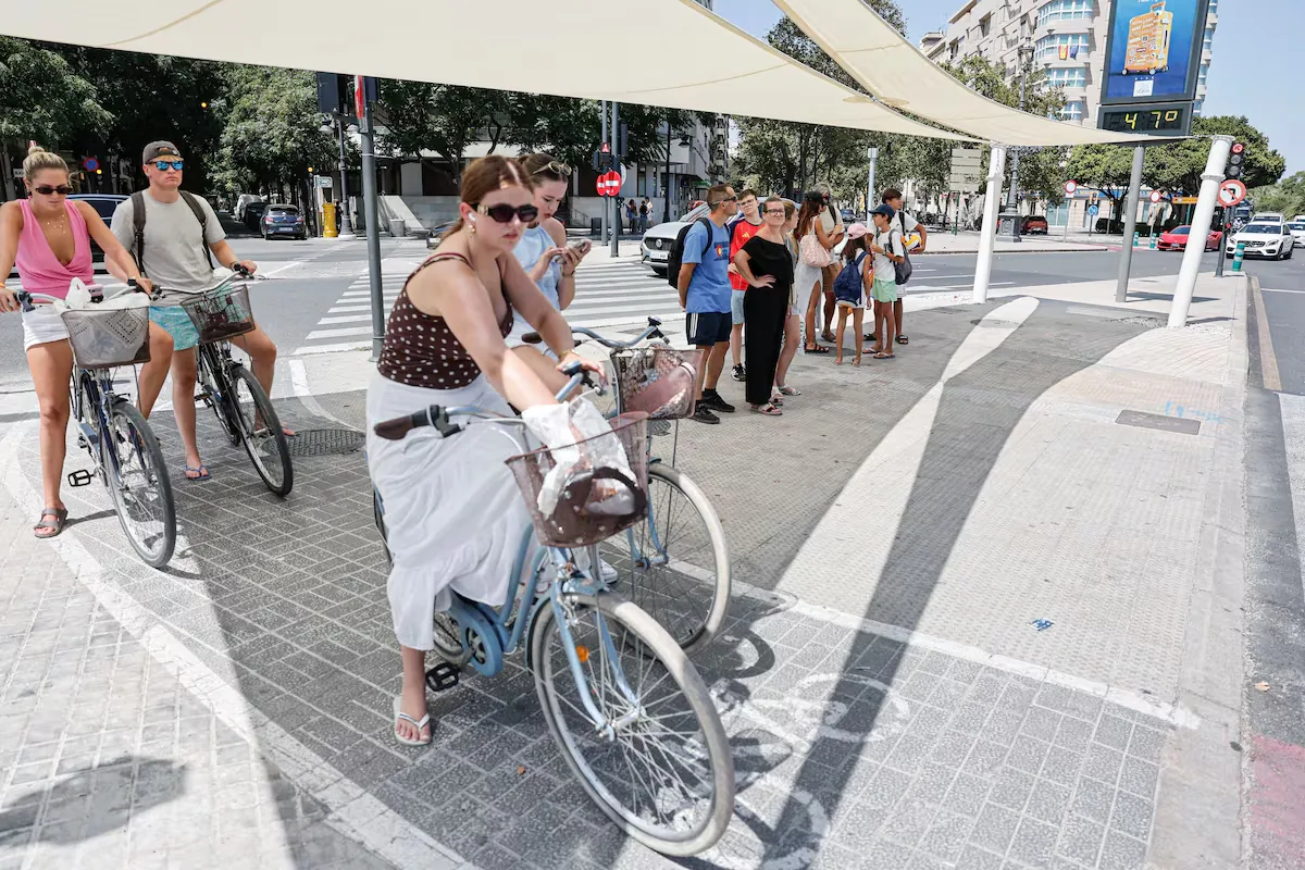









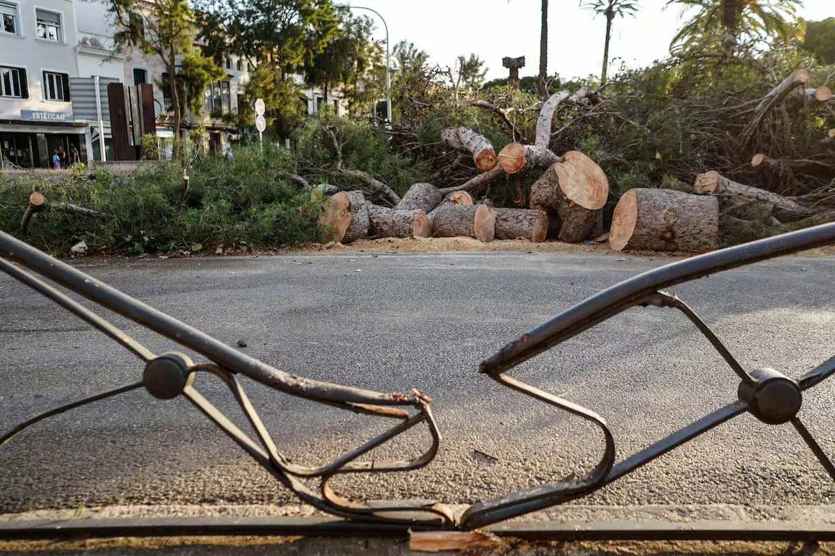
Plot twist in the weather: from trough and possible DANA to a powerful rare storm that is being monitored by the US National Hurricane Center (NHC) with a trough included. To begin with, the presence of the trough to the west of the Peninsula results in rain in the north, east, and Balearic Islands. The storms, after hitting the Valencian Community and other points in the southeast on Thursday, moved to the archipelago last night, where they left very strong wind gusts of up to 121 kilometers per hour in Menorca, accompanied by intense downpours of seven liters per square meter in just 10 minutes and a temperature drop of almost 10°. Firefighters had to attend up to 70 incidents in the east of the island, with fallen trees and streetlights and cornice detachments in Mahón.
This afternoon, storms will affect Tarragona, where 100 liters are expected. On Saturday, they will move inland to the northern half and on Sunday they will reach Galicia by the end of the day, with the first rains associated with the storm. Weekend temperatures will be normal for the season, with a notable rise in the northern half, while the announced drop will shift to Monday.
Forecast for today and the weekend:
This afternoon: showers on the Catalan coast and pre-coastal area and Balearic Islands, some with storms and very strong intensity. Persistent rain on the Cantabrian and Basque coast.
(1/2) pic.twitter.com/UeejQGlW9G
— AEMET (@AEMET_Esp) August 21, 2026
Day by day, this Friday, according to José Luis Camacho, spokesperson for the State Meteorological Agency (Aemet), precipitation and storms will occur again throughout the day in Mediterranean or adjacent areas due to wind configuration. “In the Cantabrian, skies will continue with abundant cloudiness, especially in the eastern half, with showers that can be locally strong in the coastal areas of Cantabria and the Basque Country with accumulations of 15 liters per square meter,” Camacho continues, adding that during the afternoon “evolutionary cloudiness may develop in points of the northern half and Balearic Islands, which may give rise to stormy showers in the Aragonese Iberian, Balearic Islands, Barcelona, and Girona.”
Late in the day, “strong or very strong and persistent precipitation is expected on the southern Catalan coast, which may extend into the early hours of Saturday and affect to a lesser extent the coasts of Castellón and Barcelona.” There are three communities with warnings: Catalonia, in orange ―the second level of a three-level scale― for rain and in yellow ―the minimum level― for storms; and Balearic Islands, Cantabria, and Basque Country, in yellow for rain. Camacho highlights that the orange warning in Catalonia “affects the northern and southern coasts of Tarragona, with accumulations of about 100 liters in successive showers.”
As for the rest of the Peninsula, skies will be mostly clear or clear. In the Canary Islands, cloudy on the northern side with possible light precipitation, and clear on the southern side. On the thermometers, maximum temperatures “will drop in the northern plateau, northeast, and Mediterranean, notably in the Iberian, Castellón, and Balearic Islands,” while “they will rise in the southwest and remain unchanged in the rest.” Minimum temperatures will drop generally. In the Canary Islands, no changes. Additionally, there is a significant reduction in fire risk to low to moderate levels in most of the Peninsula, although it remains high in Galicia, the northeastern peninsula, and southern Mallorca.
Considerable improvement in conditions in much of the country.
However, the fire danger remains very high or extreme in the northeastern peninsula and some areas of Galicia, Andalusia, and the Balearic Islands.
7-day updated forecast: https://t.co/Eyx5iwJ4eV pic.twitter.com/itiRlg1bi0
— AEMET (@AEMET_Esp) August 21, 2026
On Saturday, the situation complicates “due to the presence of a powerful storm with possible subtropical characteristics but still distant in the Atlantic, west of Portugal.” It is a very unusual storm for mid-August, forming in the northeastern Atlantic and moving towards the area of Portugal and northwest Spain. “It is not a hurricane, but its possible evolution towards a subtropical structure has even caught the attention of the NHC,” notes eltiempo.es. Portugal may end up naming this storm, in which case it would be Vitor.
To complicate matters, Camacho continues, “at high altitude there is a trough ―a tongue of colder air at mid and high levels of the atmosphere west of the Peninsula― that is strengthening and progressively moving towards the Peninsula.” This will translate into the movement of storms inland in the northern half of the Peninsula.
The day will start as a “continuation of the previous one,” that is, with strong and persistent showers on the coasts of Tarragona, Barcelona, and Castellón that may extend into the afternoon. Skies will be cloudy or very cloudy in the eastern third and Balearic Islands. In the Cantabrian, Galicia, and northern plateau, daytime evolutionary cloudiness and mostly clear or clear skies in the rest.
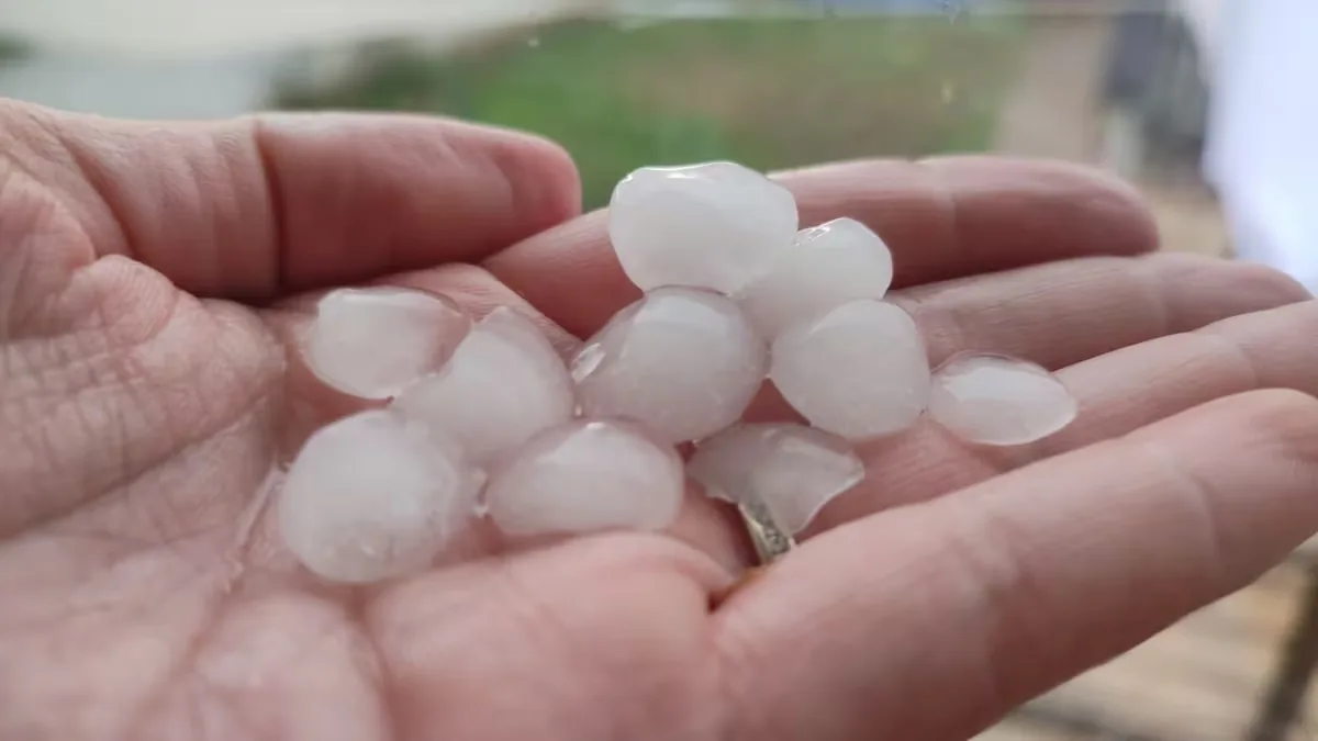
In the afternoon, strong showers and storms in the Ebro valley and the Iberian system with accumulations of 20 liters and strong wind gusts and hail. In the Canary Islands, cloudy skies with some drizzle on the northern side and mostly clear or clear on the southern side. On the warning map, Catalonia will remain in orange for rain and yellow for storms, while the warning is yellow for both in Aragon and Valencian Community and in the Balearic Islands only for rain.
Maximum temperatures “will rise in almost the entire territory, except in Levante, Balearic Islands, Catalonia, and Canary Islands, where they will drop.” Minimum temperatures will rise slightly in the center and drop in the rest and in the archipelagos. Regarding fire risk, there is an increase in risk levels with moderate to high levels in large areas of the Peninsula, very high in Galicia and interior areas, especially in the two plateaus and Aragon.
On Sunday, the storm “will gradually approach the Atlantic coasts of the peninsula, beginning to directly affect Galicia and the southwest at the end of the day with precipitation in Rias Baixas.” At high altitude, the trough will cross the Peninsula with southern winds, increasing instability.
Thus, skies “will become overcast in the western half and the wind will acquire a southern component in many points of the center and north with a possible episode of southern winds and warm temperatures in the Basque Country.” In the Mediterranean, “the moisture supply and the formation of storms and showers will continue in the Ebro valley and interiors of the Valencian Community.” Temperatures will experience “a rise in many areas, especially in the north.” On Sunday, for now, there is a yellow warning in Aragon for rain and storms.
Although there is much uncertainty, the most likely scenario, according to eltiempo.es, is that on Monday it will rain in much of the northwestern peninsula: Galicia, Asturias, Castilla y León, and also Extremadura; and more isolated in western Andalusia and other central areas. Strong showers and storms are also expected in La Rioja, Navarra, Aragon, Catalonia, Valencian Community, Murcia, eastern Castilla-La Mancha, and Balearic Islands, with rains that could be very intense in Galicia, Cáceres, Aragon, and Catalonia.
The last week of August “will be colder than normal for the time of year in the western Peninsula,” where rains will also be more abundant than usual, adds the weekly forecast from Aemet.
Read more The Barcelona Court rejects a complaint from Christian Lawyers over a brochure about abortion