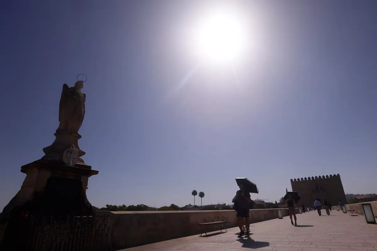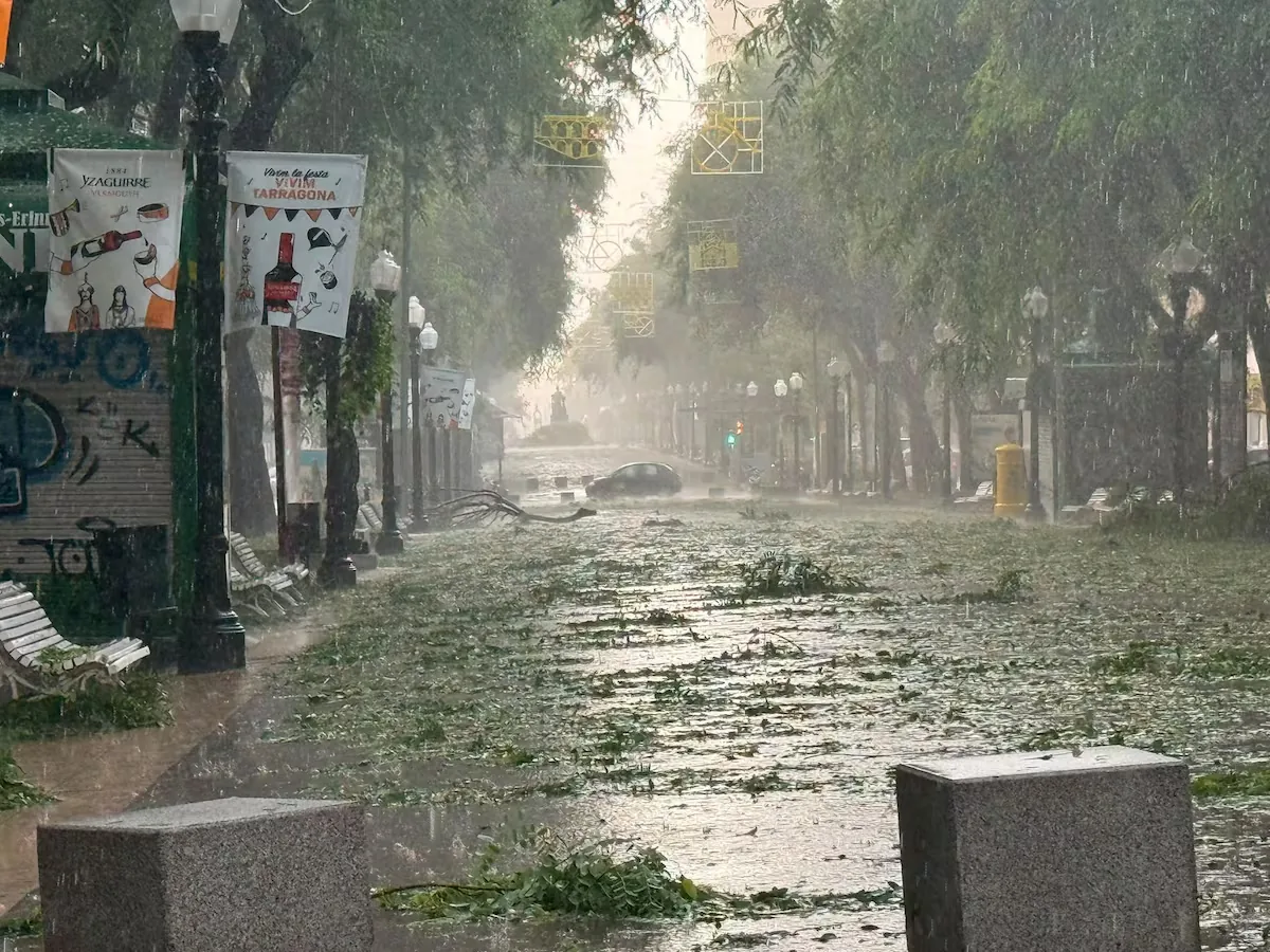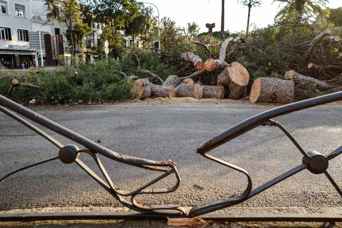









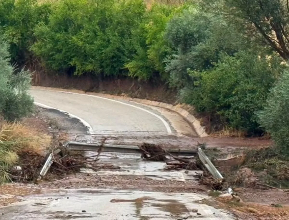
This weekend there will be a “sudden and significant” weather change, warned the State Meteorological Agency (Aemet) in an information note. On one hand, and this is excellent news, the heat will be less intense in much of Spain, although in the southern half and in Mallorca temperatures will still exceed 36° to 38°, even above 38° in points of the Guadalquivir. But the notable aspect is “the increase in instability”: “intense showers and storms are expected in large areas of the inland peninsula,” which may also reach the Balearic Islands and locally may be persistent and strong, causing damage, as happened on Thursday afternoon in Huelma (Jaén).
Read more The ultra-British Farage retains his seat in Parliament after defeating the motley Count Trash Cube
In the note, Aemet explains that “after a prolonged period of time, characterized by widespread high temperatures and the presence of storms in areas of the eastern third of the peninsula,” from this Friday the situation will turn to stormy weather, with showers in the north, center, and east of the Peninsula.
The cause is the formation of an isolated depression at high levels (dana) — a pocket of air in the upper layers — from an Atlantic trough ―a kind of tongue of cold air in the upper layers of the troposphere―, which will be located during the weekend around the Peninsula. In addition, the subtropical air mass at low levels, warm, dry, and with suspended dust that had been affecting Spain for many days, hence the above-normal high temperatures, “will be replaced by another, of Atlantic origin, cooler and cleaner,” which will lead to “a progressive drop in temperatures.” No one should applaud, because it will not be cool: values will drop to levels “more typical of this time of year.”
This Friday afternoon, the Aemet statement continues, this trough “will approach the western peninsula,” where it will evolve to become a dana by the end of the day. Already this afternoon “storms will occur in large inland areas, except the southwestern quadrant, which will give rise to showers and strong wind gusts, accompanied by probable hail.” The most intense “are expected around the Iberian system and areas of the eastern inland peninsula, where the intensity of the showers and wind gusts may be very strong.”
This forecast translates into a map with 12 communities under warning for rain and storms, which is orange level or significant risk — the second level of a three-level scale — in Aragón, Castilla-La Mancha, and the Valencian Community, for precipitation that can reach between 30 and 40 liters per square meter depending on the area. In contrast, it is yellow — the minimum — in Andalusia, Asturias, Cantabria, Castilla y León, Catalonia, Murcia, Navarra, Basque Country, and La Rioja, for intensities of 15 to 20 liters per square meter.
Although temperatures “will begin to drop in the northwest and central” peninsular areas, there are still “quite widespread” heat warnings. Thus, there is an orange warning in Andalusia, Aragón, Castilla-La Mancha, Catalonia, and the Community of Madrid; and yellow in the Balearic Islands, Castilla y León, Extremadura, Galicia, Murcia, Navarra, La Rioja, and the Valencian Community.
During the weekend, things will get worse. “With the dana located in the inland peninsula, showers and storms will be quite widespread, although less likely in areas of the southwest of the Peninsula and Galicia.” In addition, they will also reach the Balearic Islands.
For the second day of impact, “the intensity of the showers and wind gusts will generally be strong,” although locally they may be very strong. “It is difficult to specify at this time the exact areas” where it will hit hardest, admits the agency, which warns that “hail formation is likely, even large hail, greater than two centimeters [a bottle cap].”
Both days “temperatures will drop significantly, especially on Saturday, reaching values close to normal.” The worst day of this episode, initially, “will be Saturday, both because of the extent and intensity of the storms and the magnitude of the thermal drop.” That day, for now, there are yellow warnings for rain and storms in Andalusia, Aragón, Balearic Islands, Cantabria, Castilla y León, Castilla-La Mancha, Catalonia, Galicia, Community of Madrid, Murcia, Navarra, Basque Country, La Rioja, and Valencian Community. For heat, also yellow in the Balearic Islands, Catalonia, and Galicia.
From Monday, Aemet explains that there is much uncertainty about the evolution of the dana because these phenomena are the most difficult to forecast, but the most likely scenario points to a “clear decrease in the probability of widespread storms.” Temperatures will rise again “although without reaching, during the following days, the previous values.”
Read more Morocco deploys hundreds of police and military at the border amid calls for a new mass breach